San Osvaldo Promenade above Bolzano
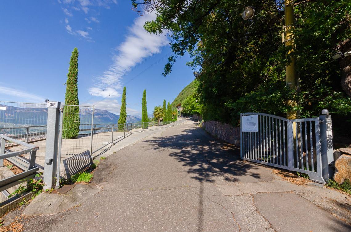
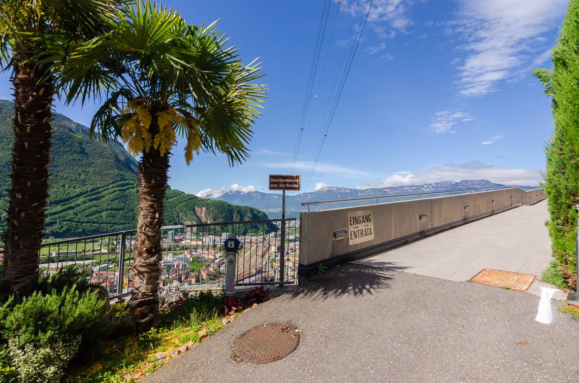
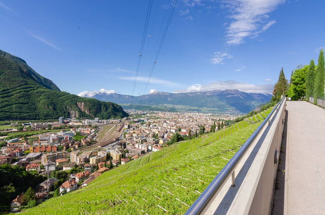
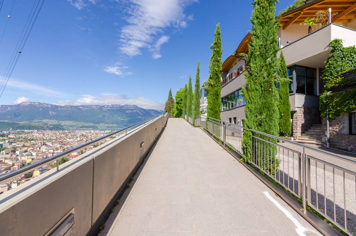
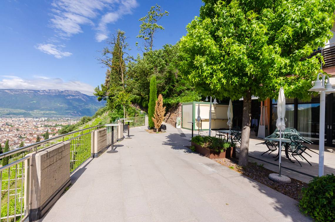
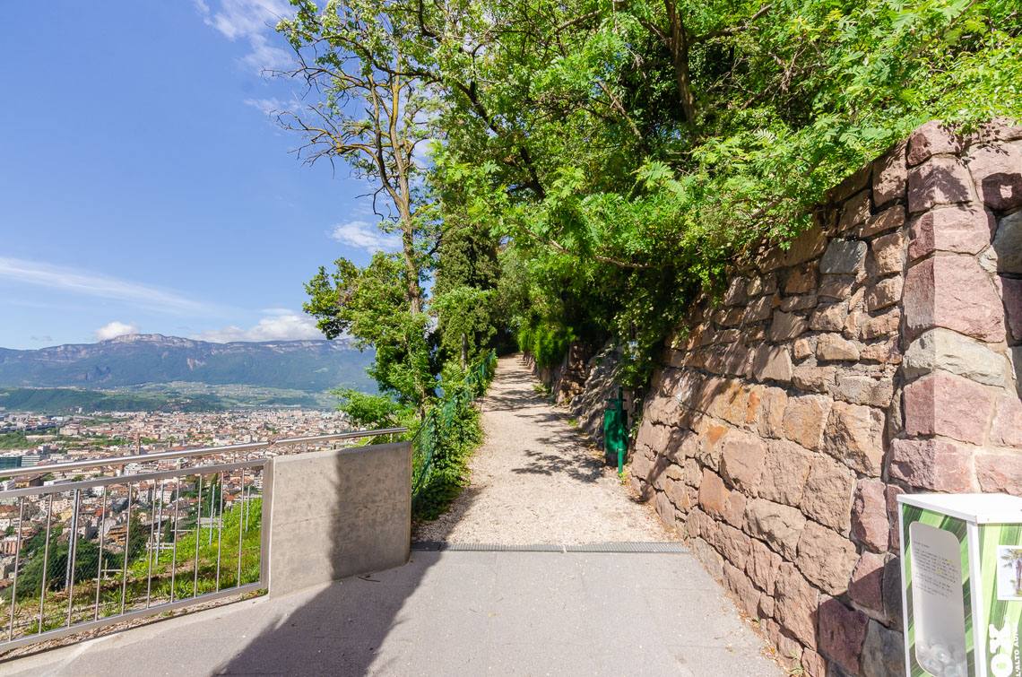
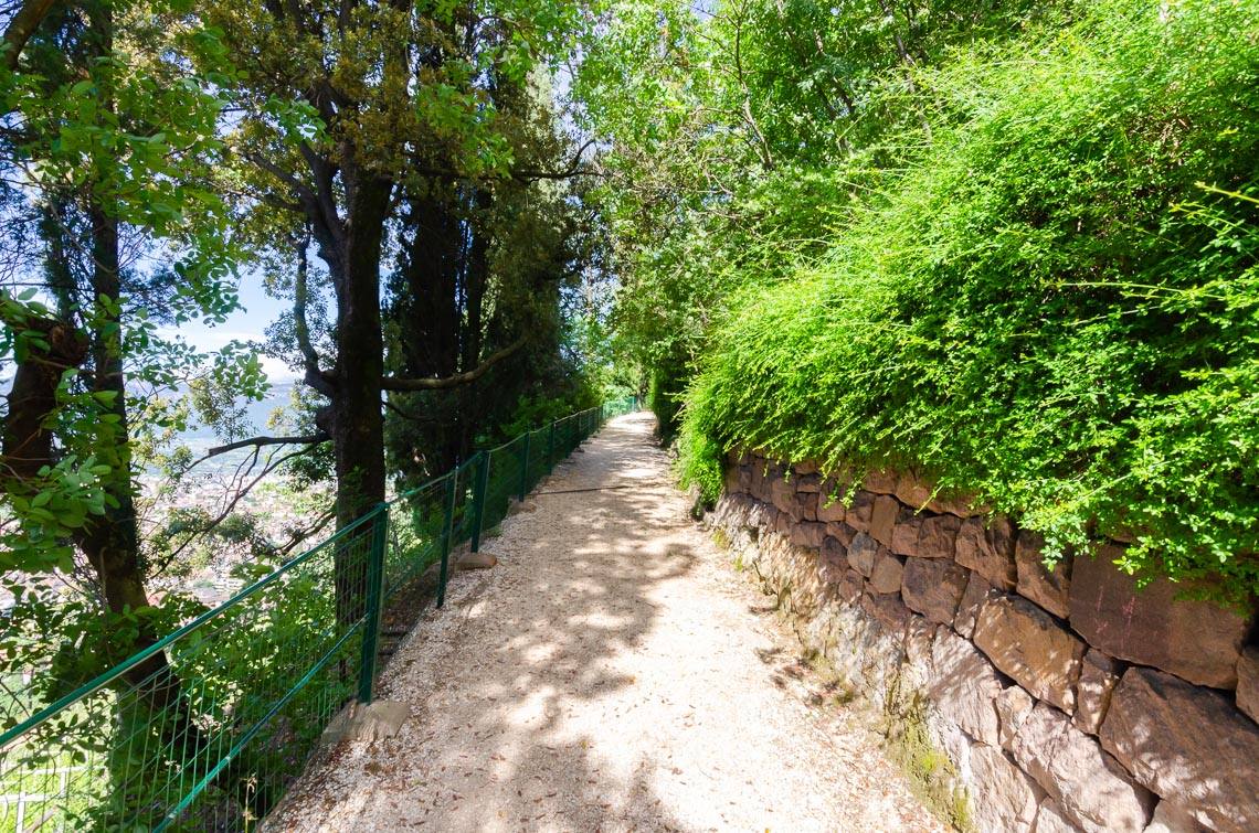
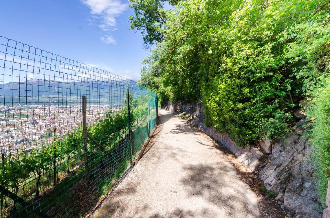
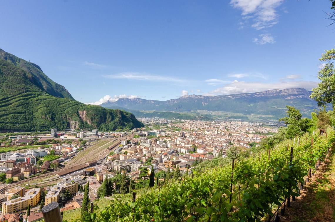
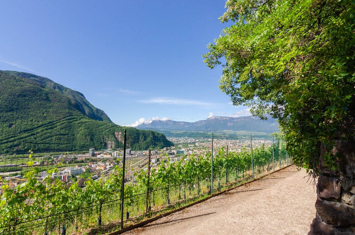
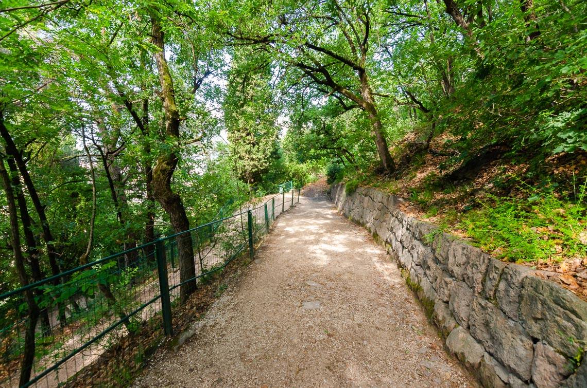
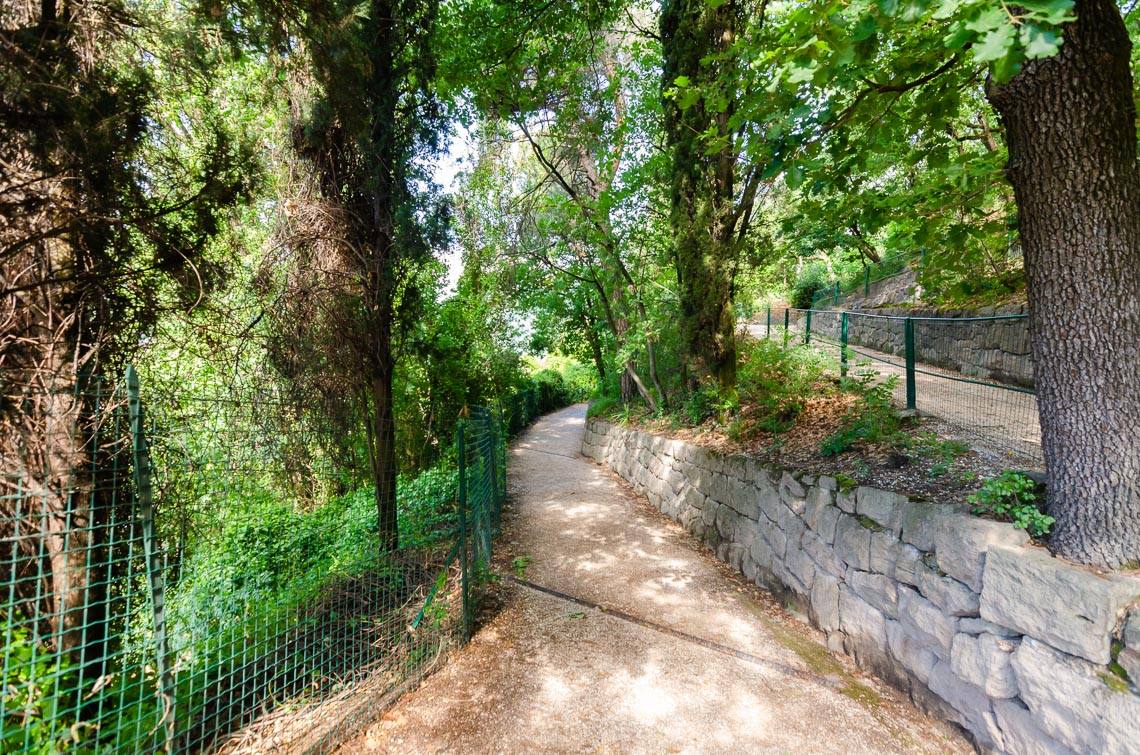
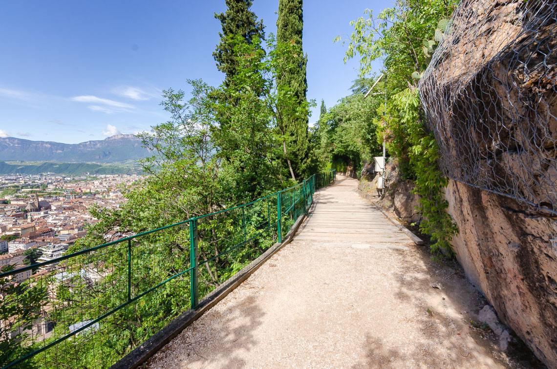
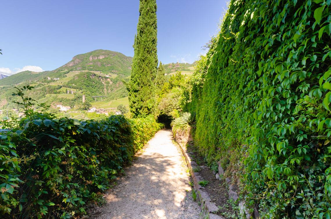
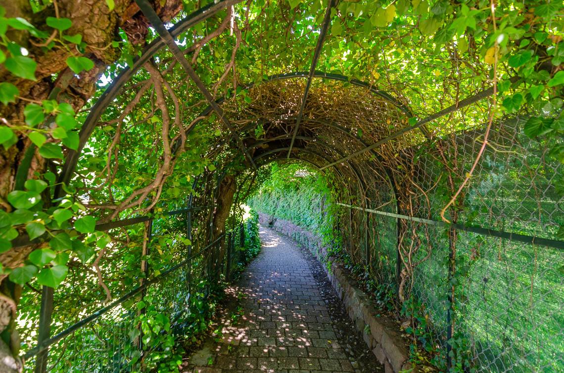
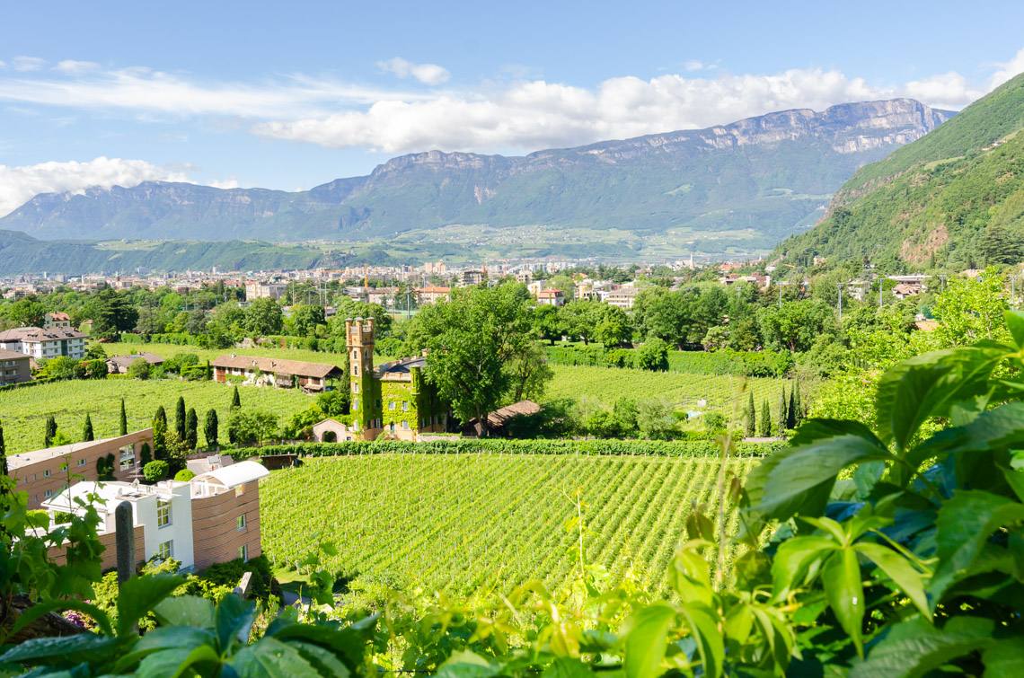
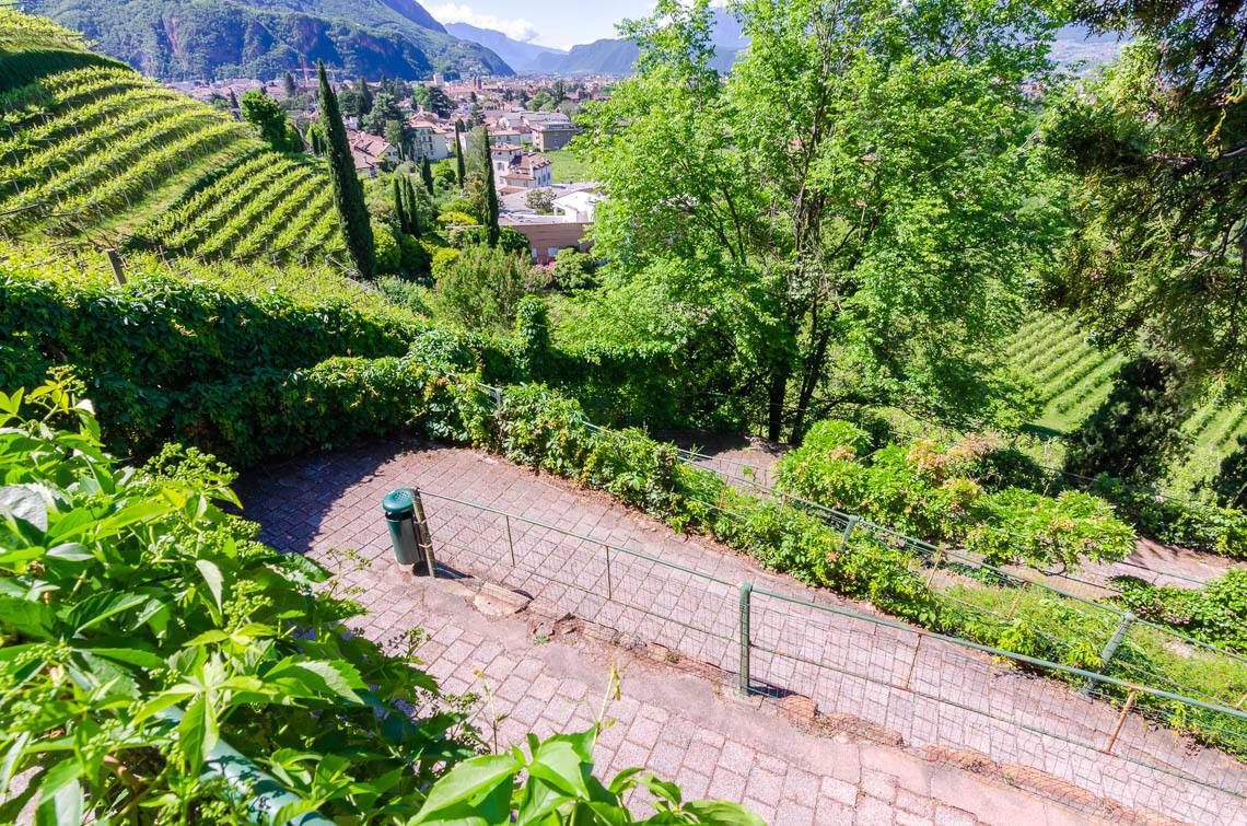
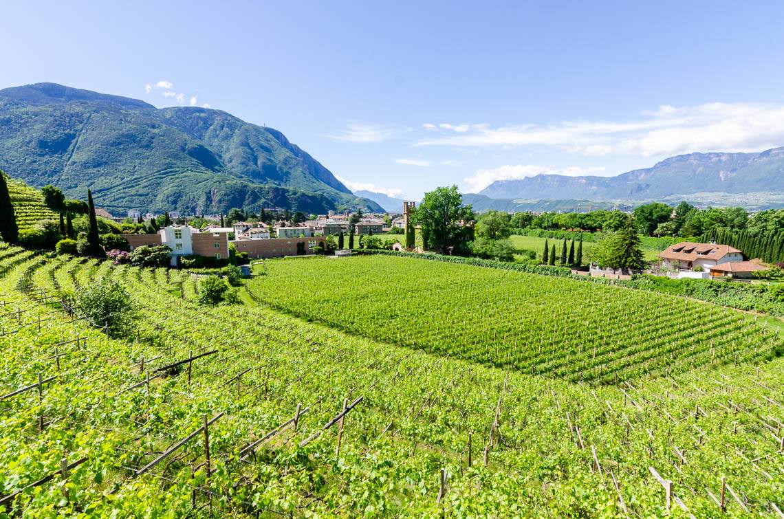
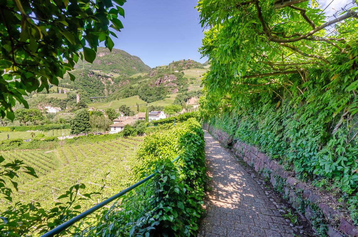
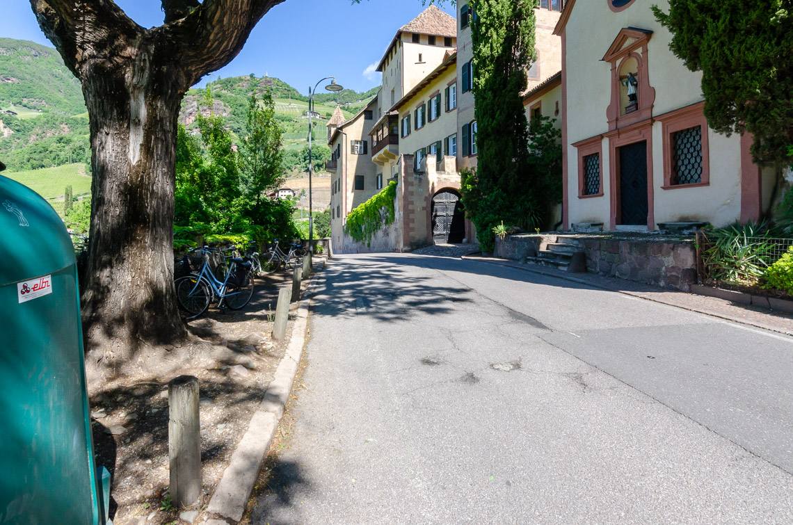
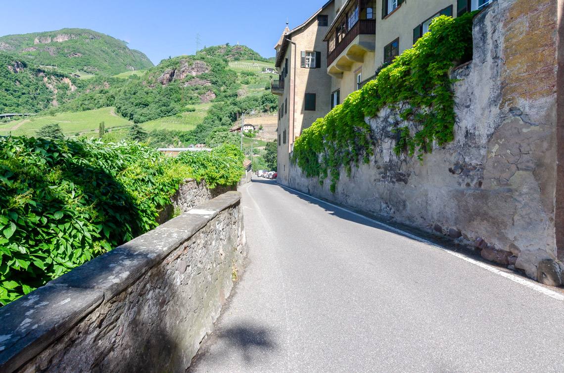
The Oswald Promenade runs along the sunny slopes of Bolzano’s old town and is one of the most popular walking and hiking trails in the Bolzano area. Cypresses, cedars, ornamental shrubs and flowers line this historic promenade, at the eastern end of which there is a scenic, accessible refreshment stop overlooking the sun-drenched vineyards of St. Magdalena. The Oswald Promenade is also suitable for families with pushchairs and visitors in motorised wheelchairs (starting from the Hotel Eberle) and is well signposted in both directions. Due to the continuous incline, we recommend walking the route from the Hotel Eberle towards the St. Anton Bridge/Talferwiesen.
Reachability
Navi: Hotel Restaurant Eberle – Obermagdalena, 39100 Bolzano.
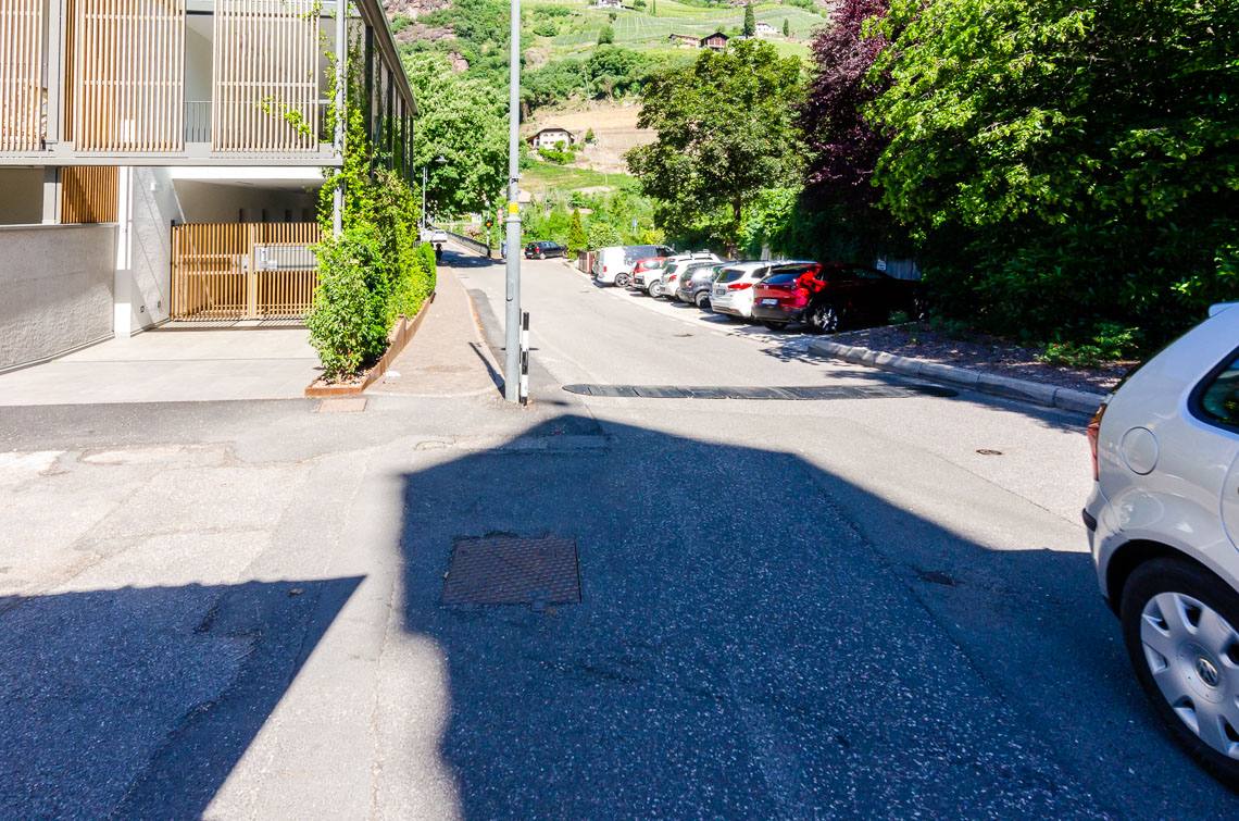
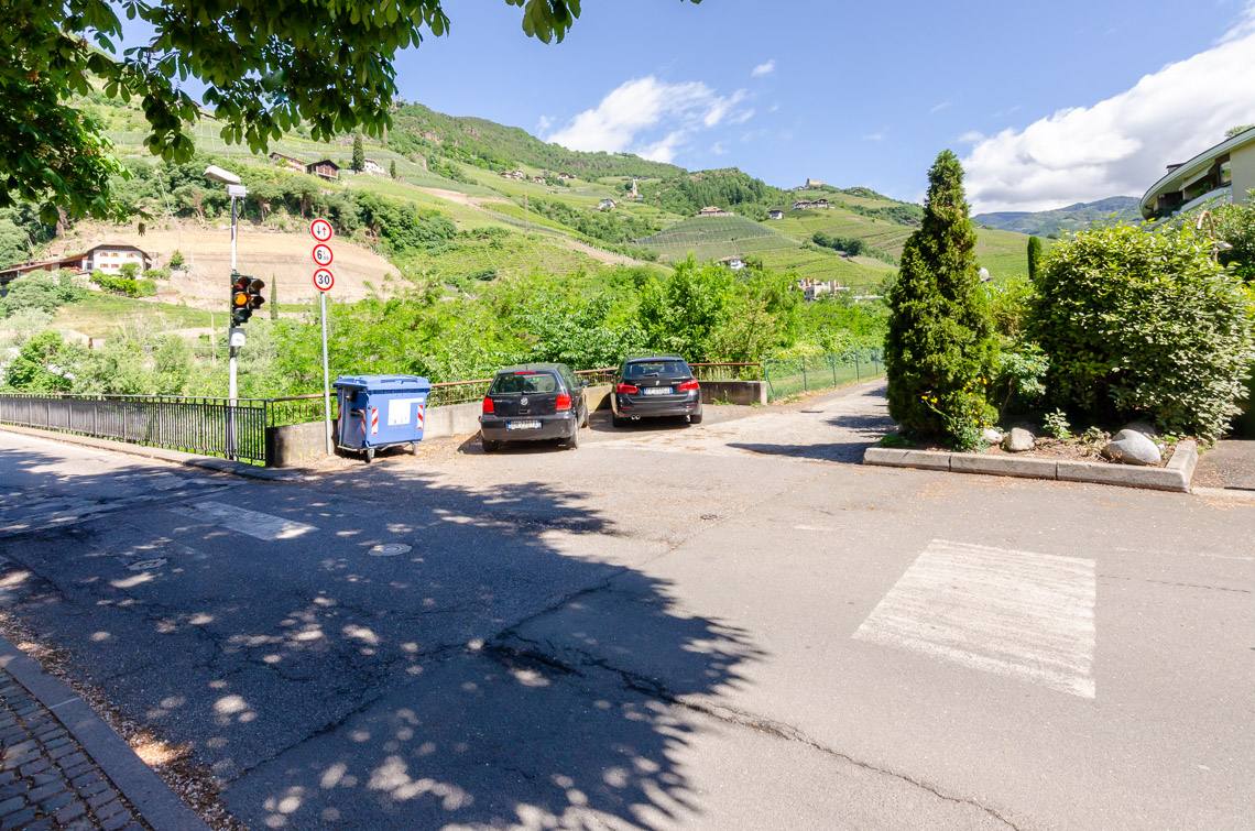
Directions by car: From the Brenner Pass, take the A22 Brenner motorway to the Bolzano Nord exit, where we follow the main road towards Bolzano. After approx. 2.7 km, we turn right following the signs for St. Magdalena and Hotel Eberle, where we park at the roadside after just 800 m (steep car park).
Coming from Bolzano city centre, we also follow the signs for St. Magdalena/Hotel Eberle. The Hotel Restaurant Eberle has a spacious private car park for guests.
Getting there by bus: From Bolzano railway station, take bus routes 6, 8 or 9 to the Ritten cable car station; from there, it is about a 1.6 km walk up the stony path to St. Magdalena. We do not recommend travelling by public transport.
Description
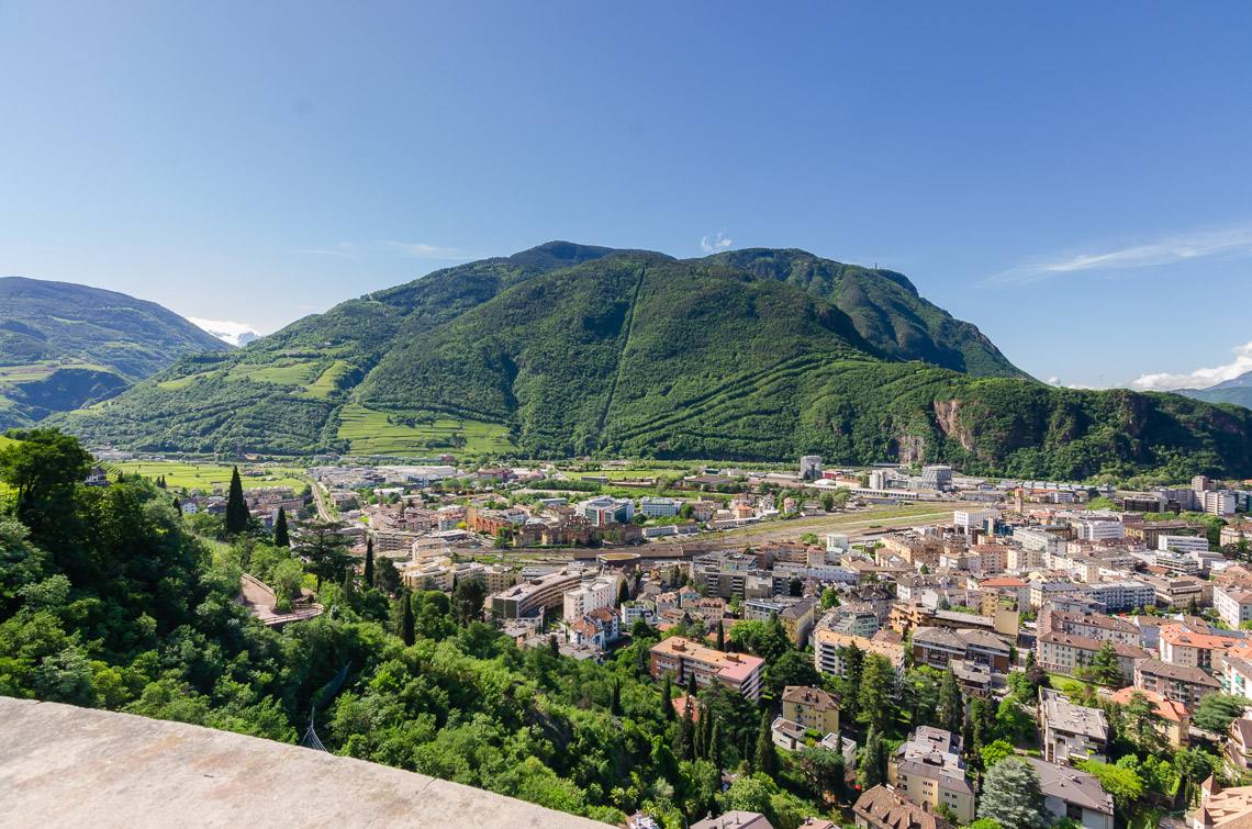
The Hotel Restaurant Eberle in Bolzano is our starting point for this scenic walk. It serves specialities from all over the world and features a large terrace with a magnificent view over the provincial capital of Bolzano, as well as an accessible toilet for guests with disabilities.
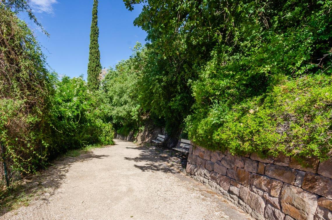
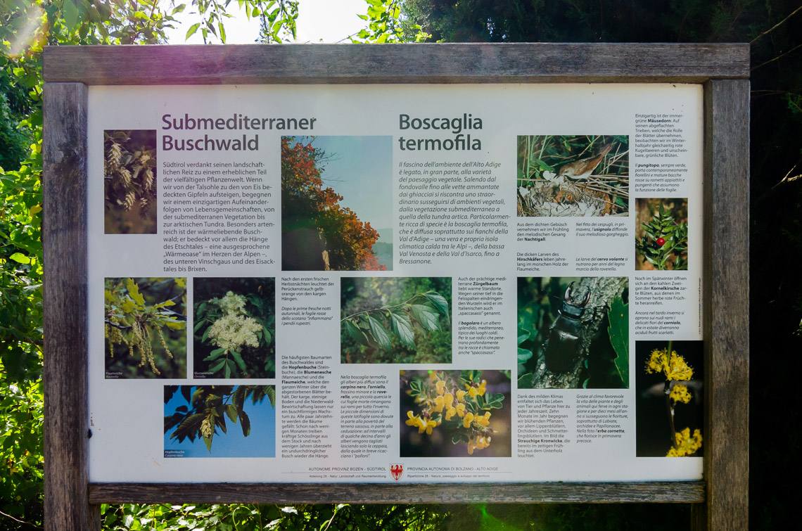
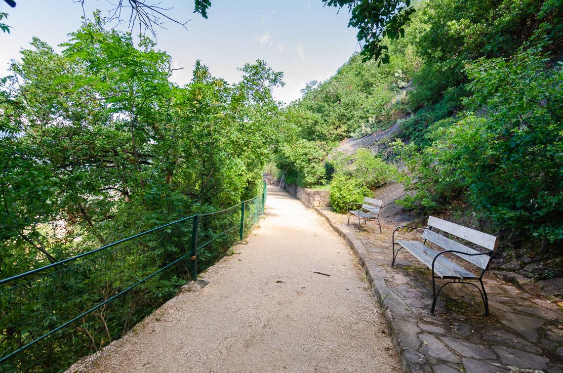
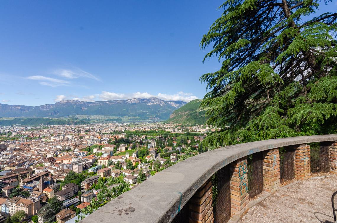
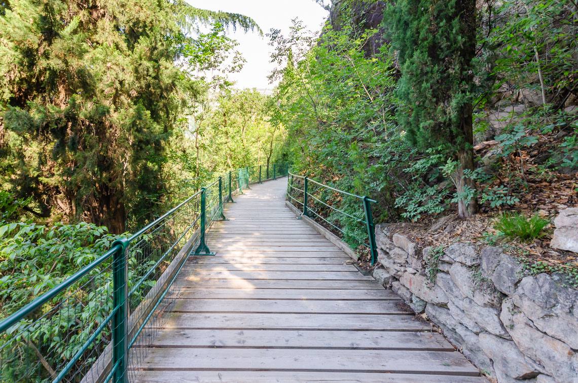
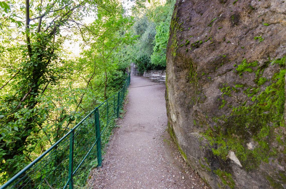
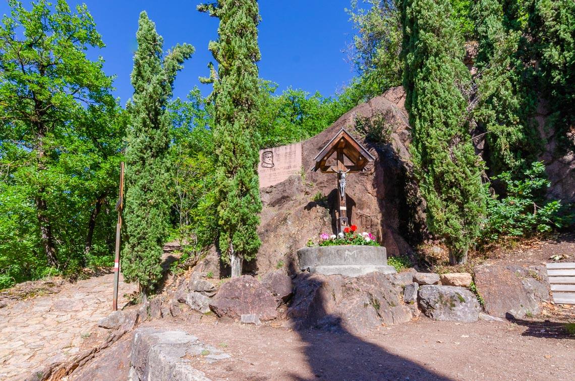
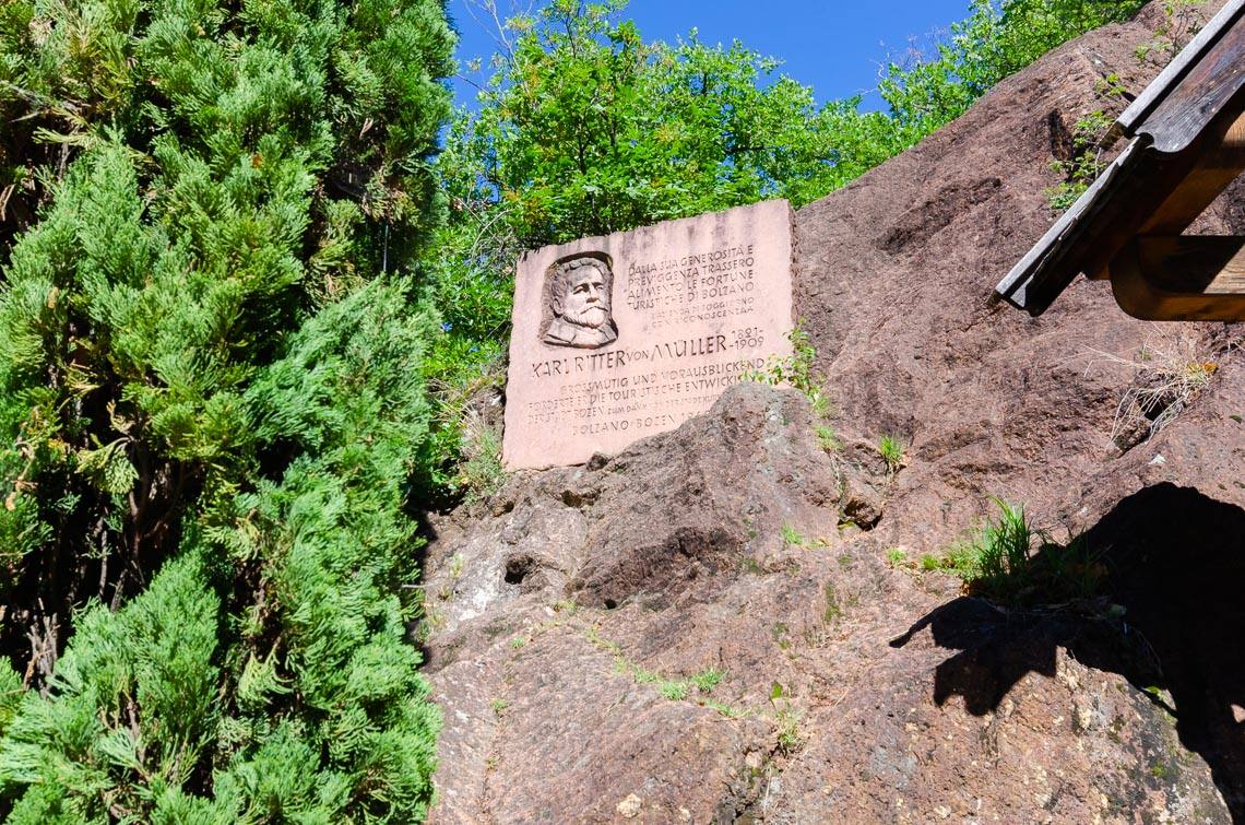
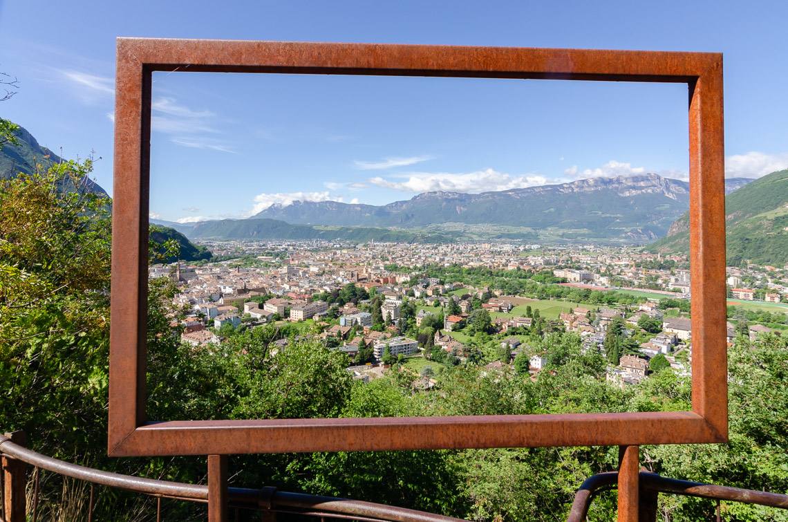
From the rather steep car park, we first head up to the Hotel Eberle (paved ramp with an 11% gradient). Once at the top, we follow the 140 cm wide footpath, made of compacted earth and gravel, which runs almost the entire length of the promenade: At the start, the path climbs with some steep gradients of 12.5% up to the highest point of our hike, before descending immediately at a steady gradient (11–12%) for about 150 metres, where we finally reach an easier stretch with benches and information boards. We follow the path and, crossing a few wooden bridges, arrive at a viewing platform amongst the cypress trees, which offers a splendid view of the city of Bolzano below. The numerous benches and the breathtaking panorama invite you to take a break. The walk continues, alternating between wooden walkways and solid ground, until we reach the monument to Karl Ritter, where there is also a junction. The path we cross here leads from the town up a steep climb towards Runkelstein Castle. However, due to its continuous gradient and uneven surface, it is only accessible with the assistance of a guide.
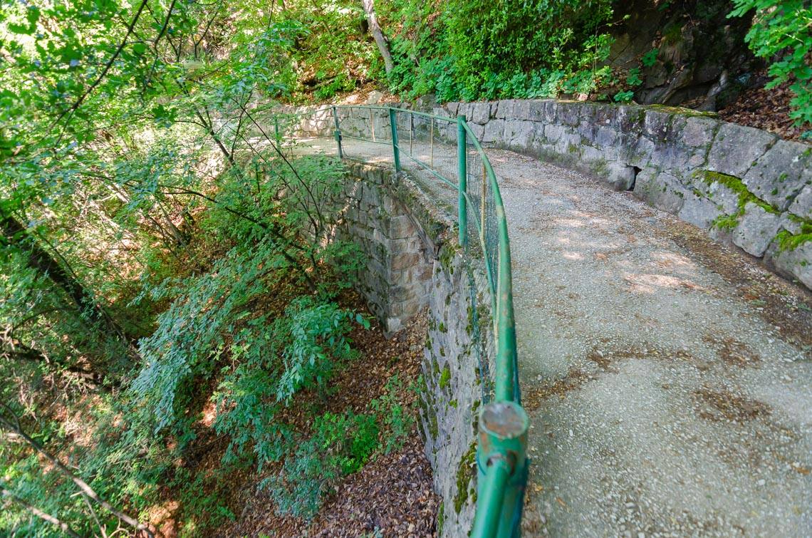
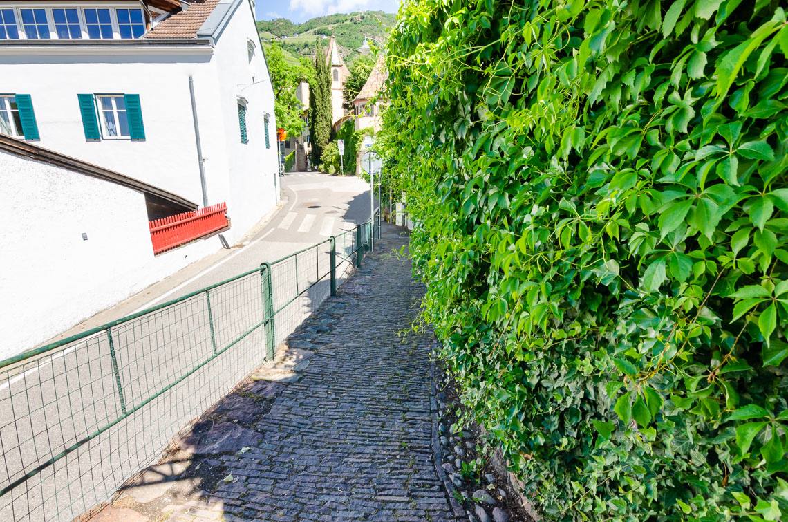
Follow the signs for St. Anton. Our route now also descends along steep hairpin bends with gradients of up to 30%. After the first few bends, the road surface changes and the paved path leads to the end of the Oswaldpromenade, joining St. Anton Straße. From here, continue at a leisurely pace along the tarmac edge of the road to the St. Anton bridge (2 car parks, to the right of the bridge). Just before the bridge, on the left, there is a turn-off for the Wassermauerpromenade, which leads directly to the centre of Bolzano.