Walk from Sand in Taufers to Luttach
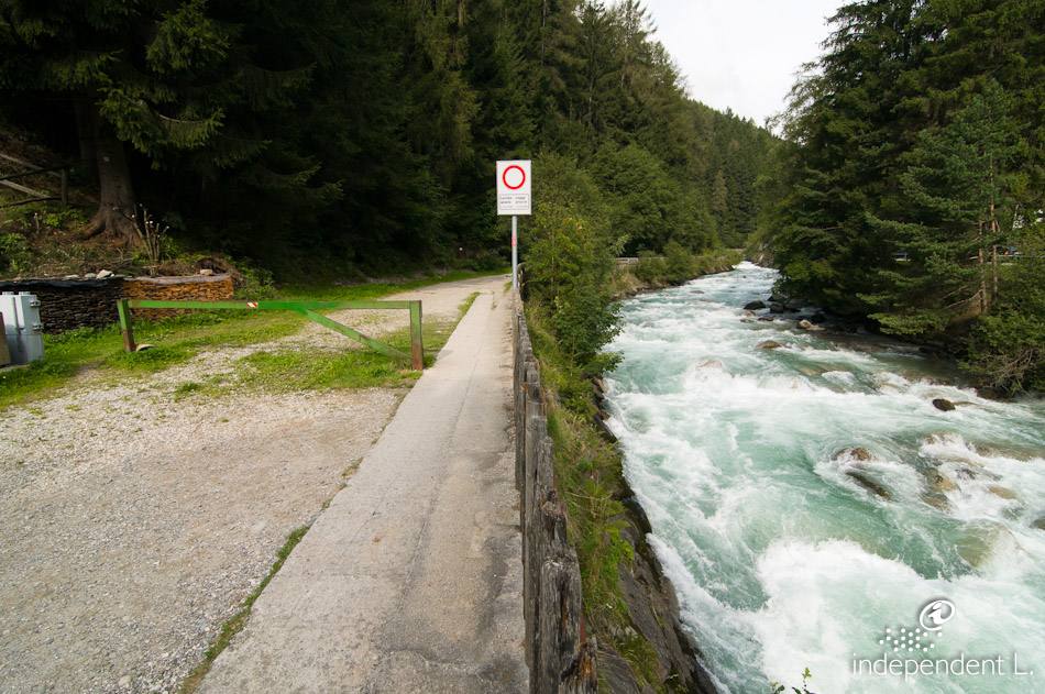
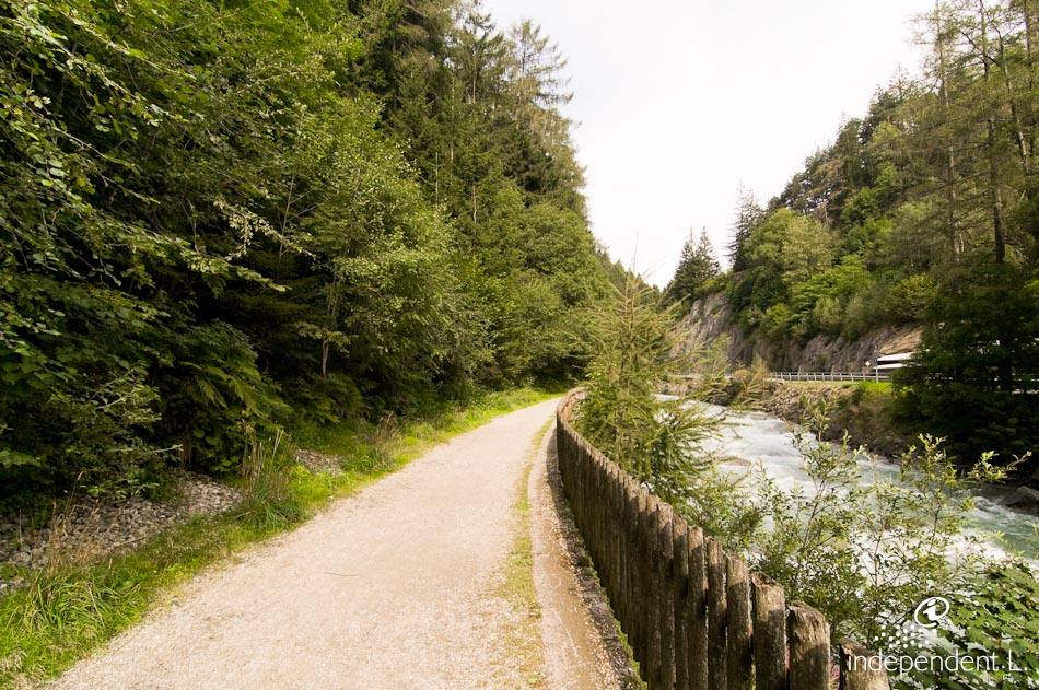
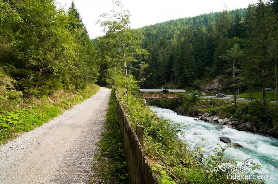
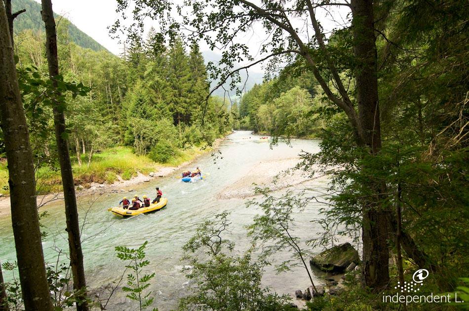
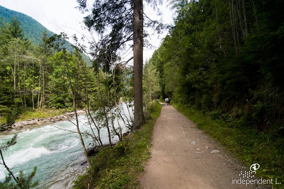
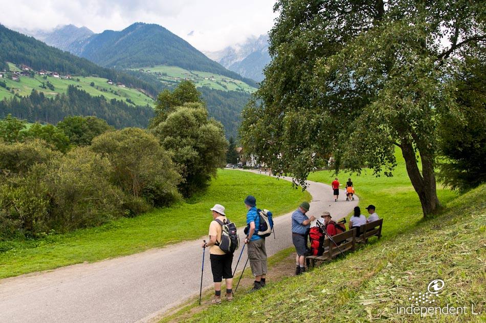
The path follows the banks of the Ahr into the narrow gorge below Taufers Castle, leading on to the Oberluttach farms. The stream accompanies us throughout the hike, initially rushing wildly, then becoming somewhat calmer. The panorama is dominated by the snow-capped peaks of the Zillertal Alps.
Reachability
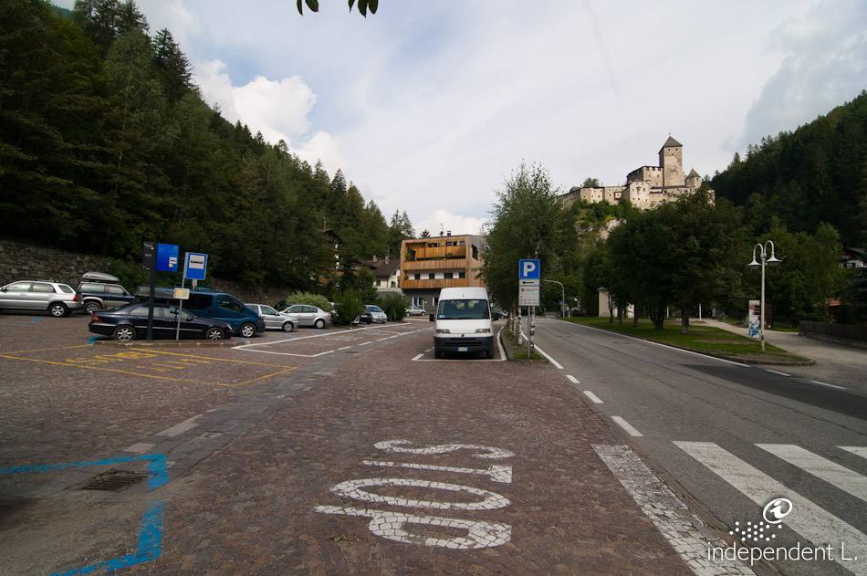
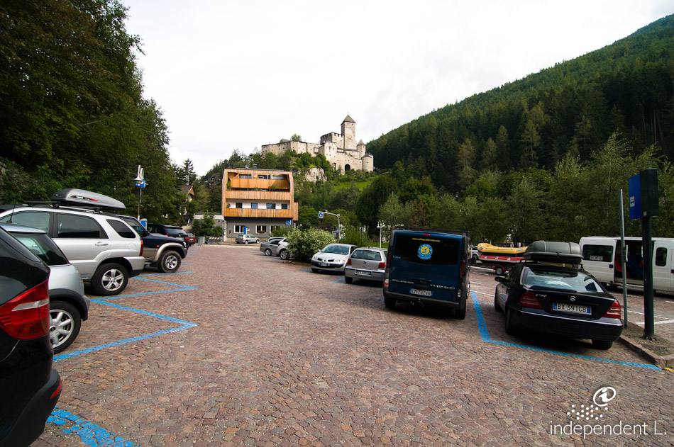
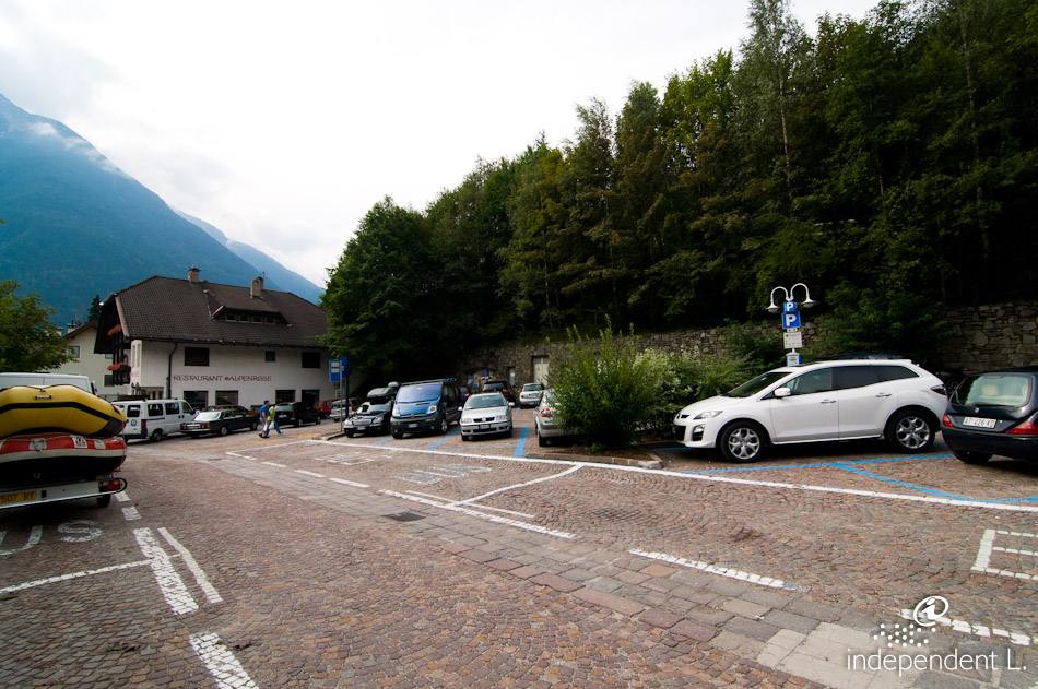
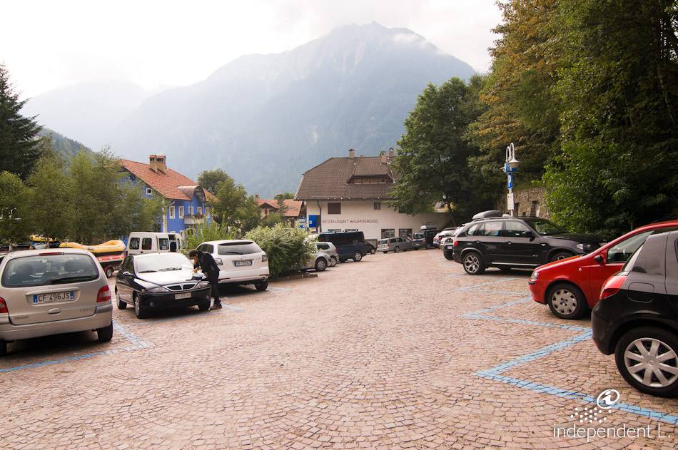
From the A22 Brenner motorway, take the Brixen-Nord exit and follow the Pustertal main road to Bruneck. Just before Bruneck, turn right and follow the signs towards the Ahrntal valley to Sand in Taufers. Parking is available to the north of the village, below Taufers Castle (paid parking).
Description
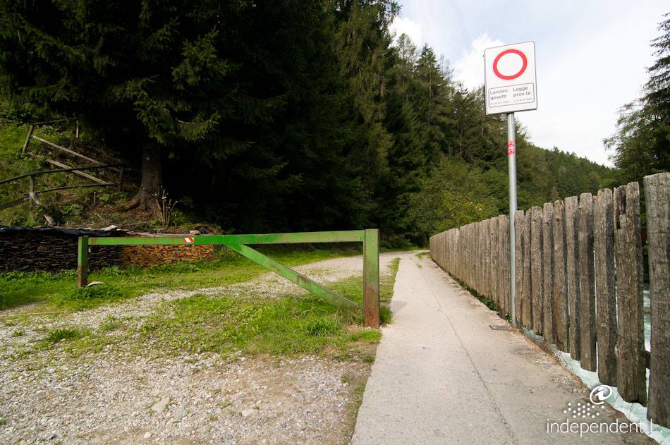
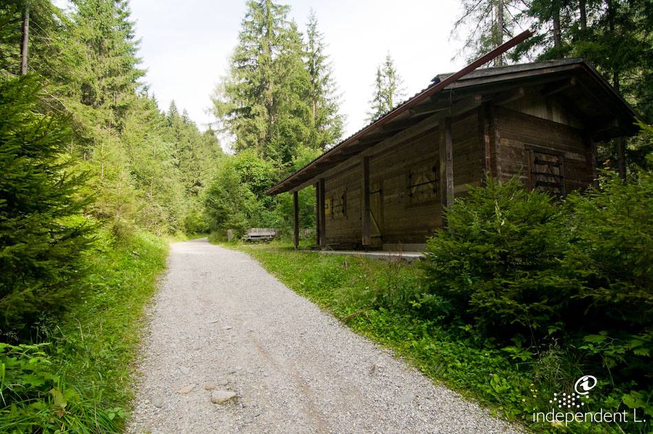
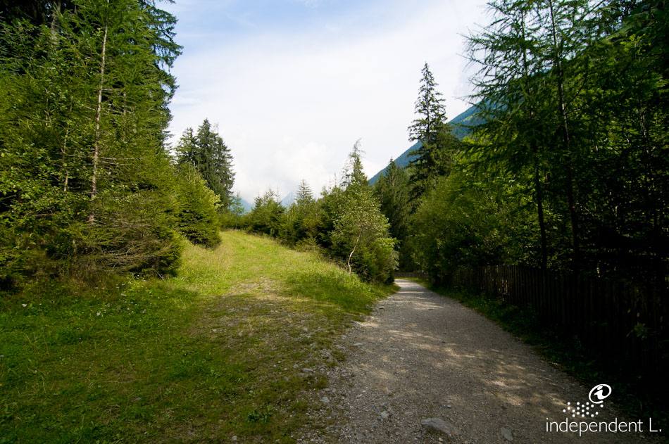
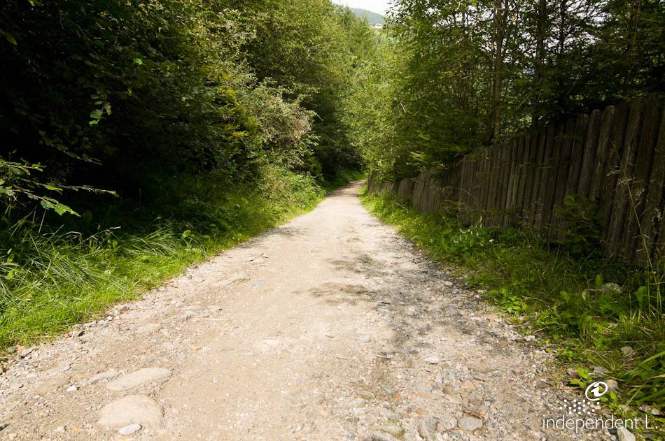
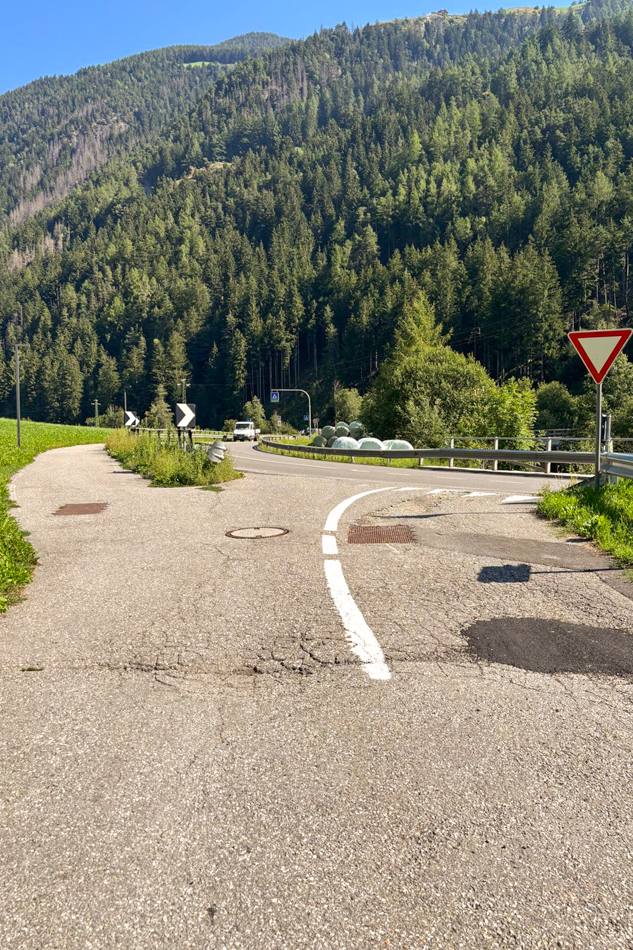
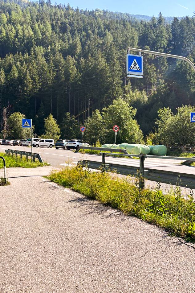
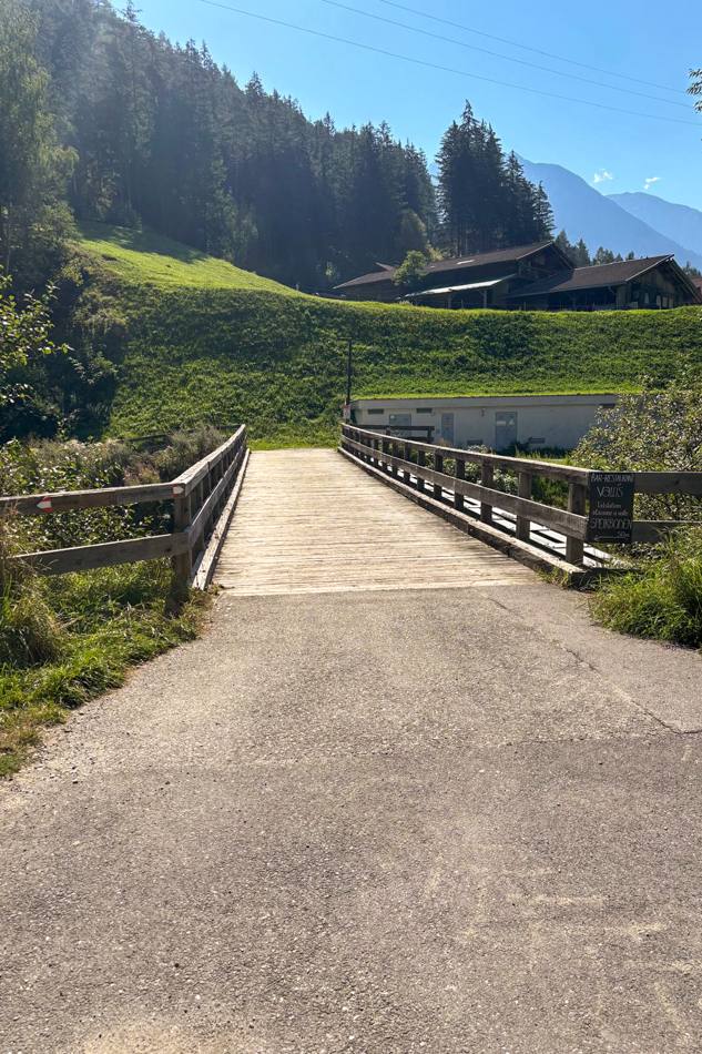
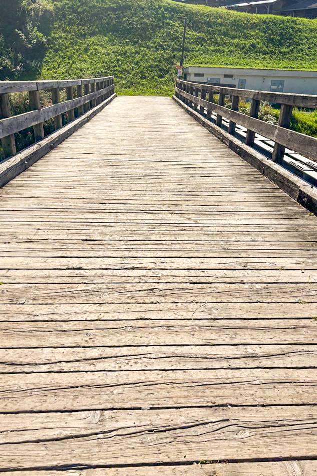
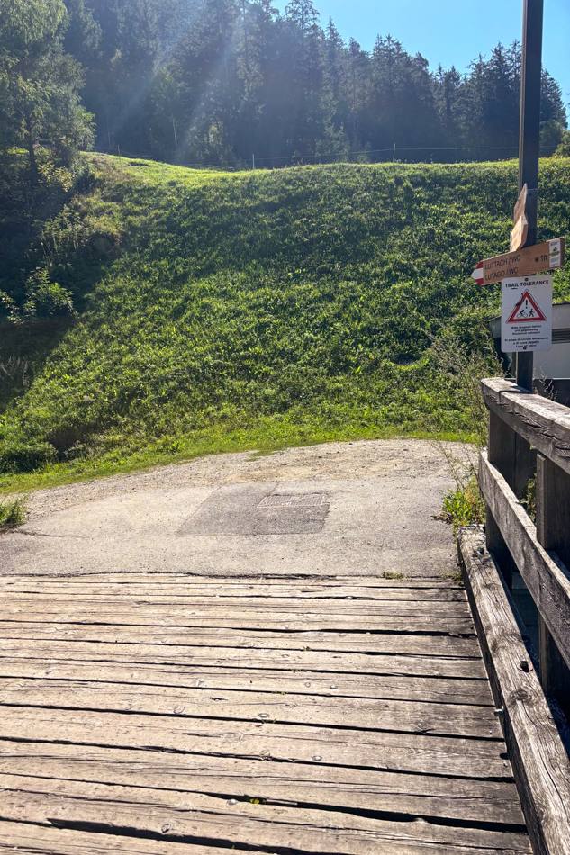
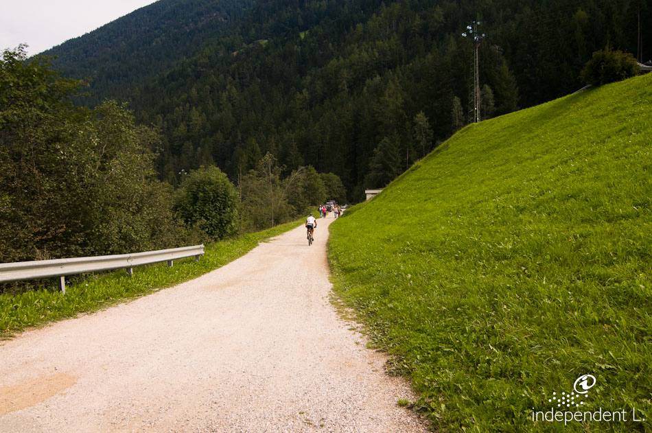
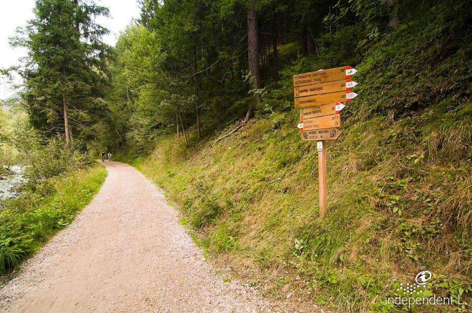
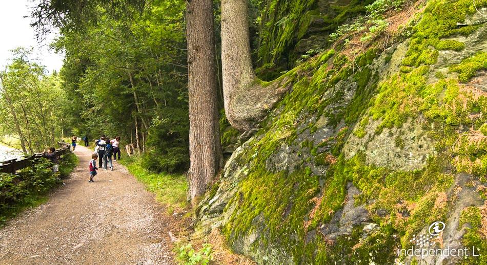
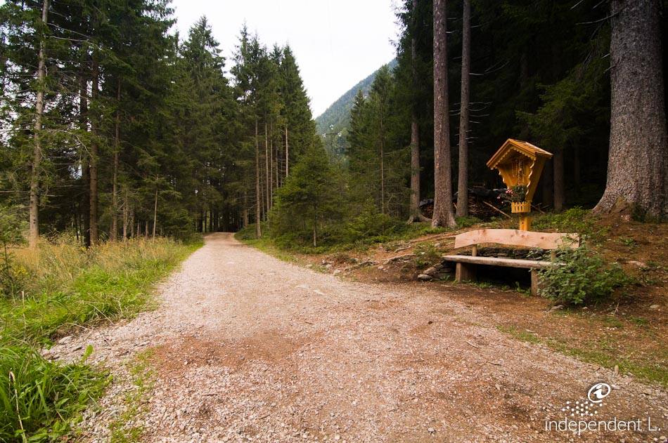
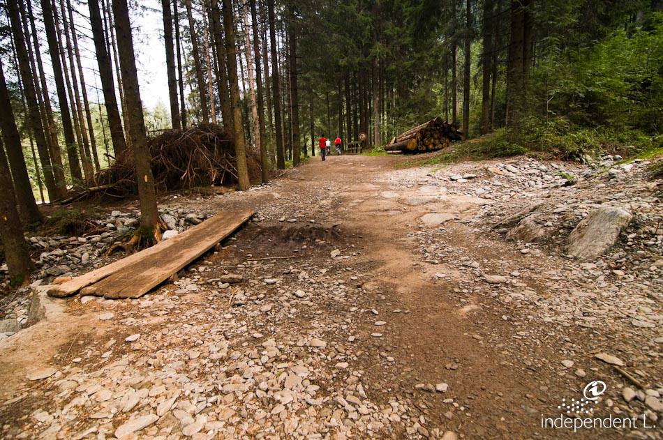
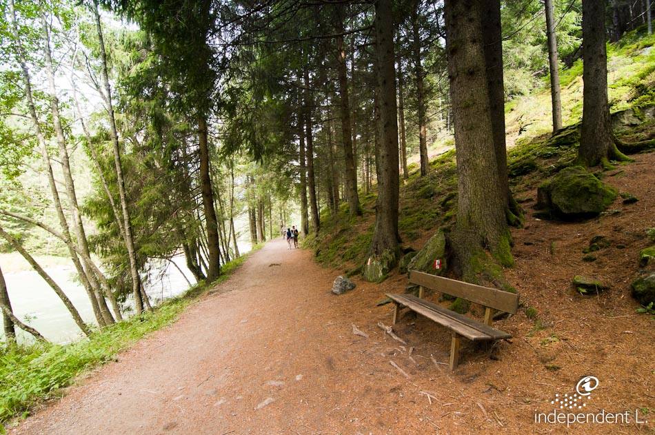
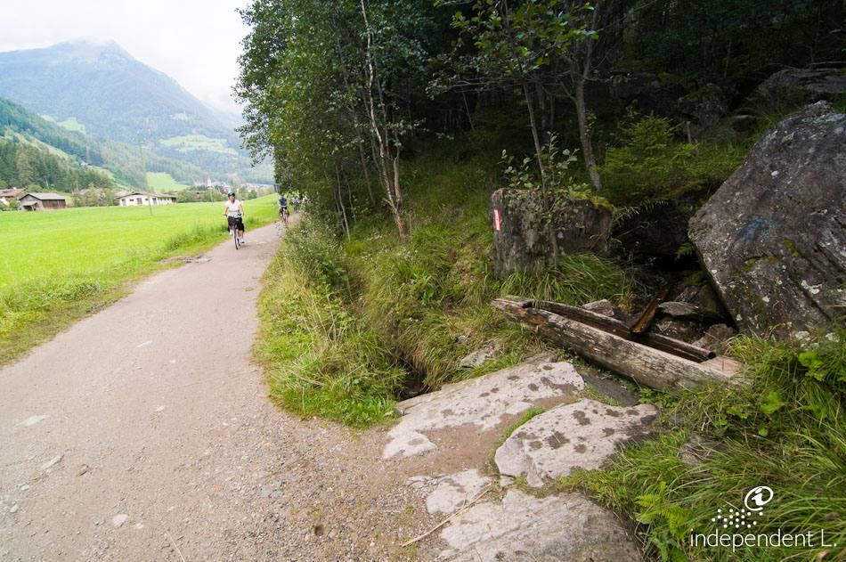
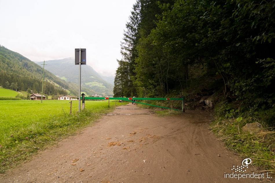
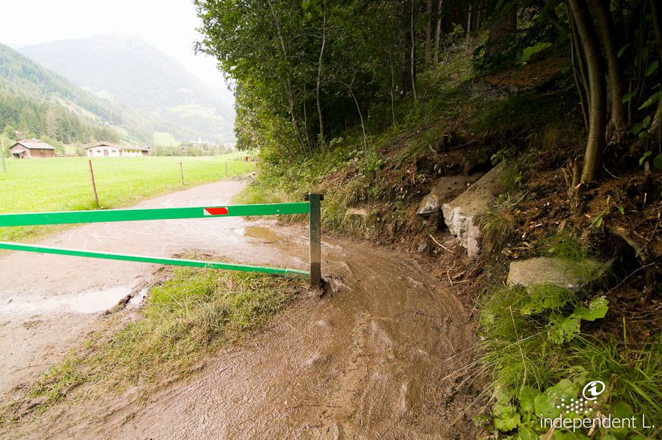
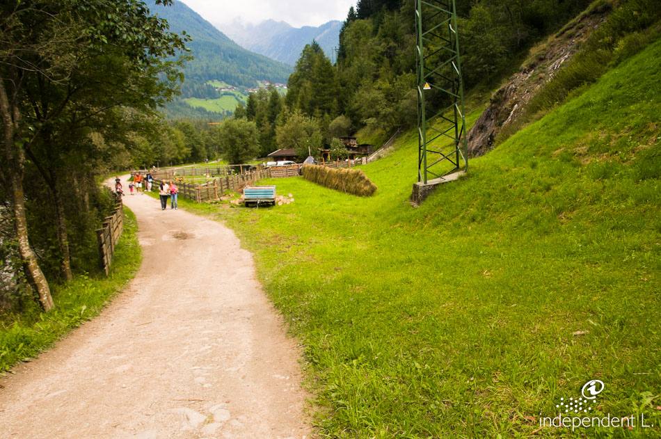
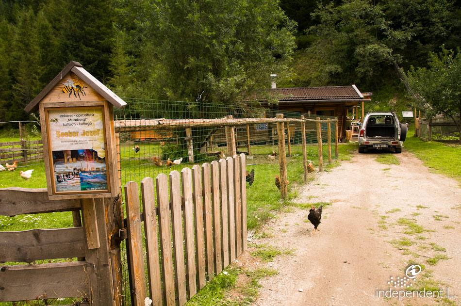
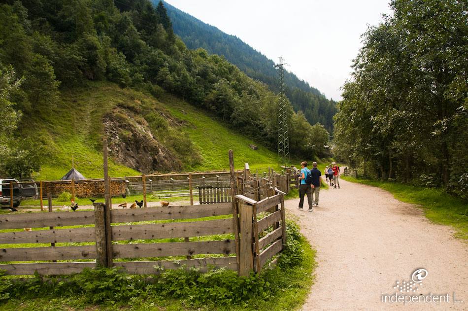
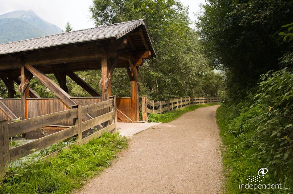
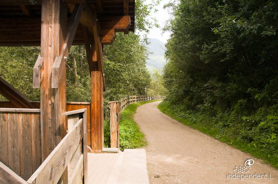
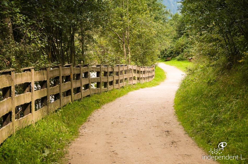
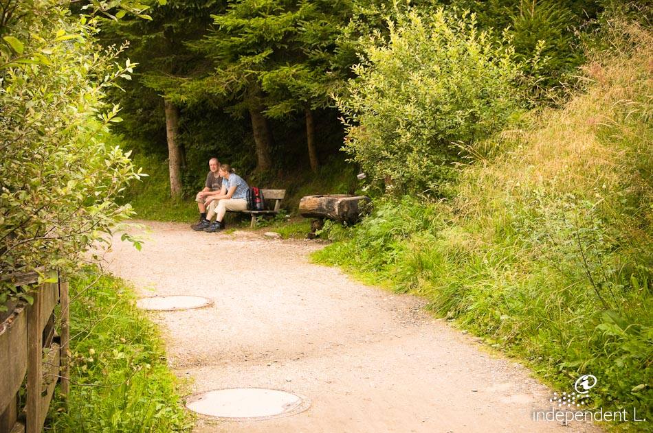
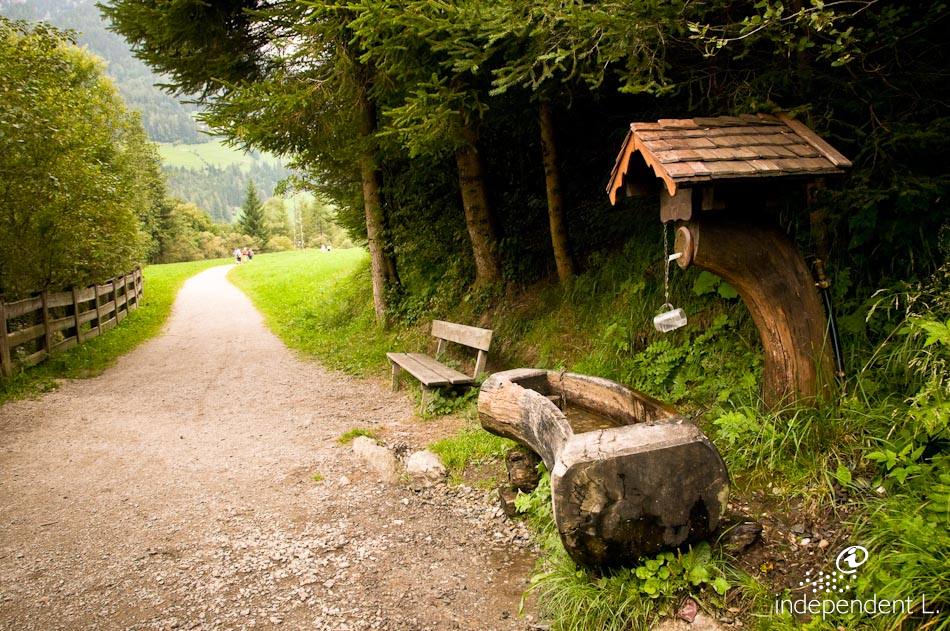
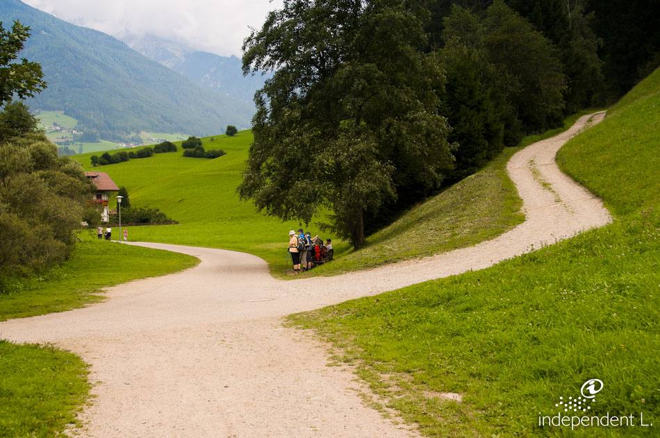
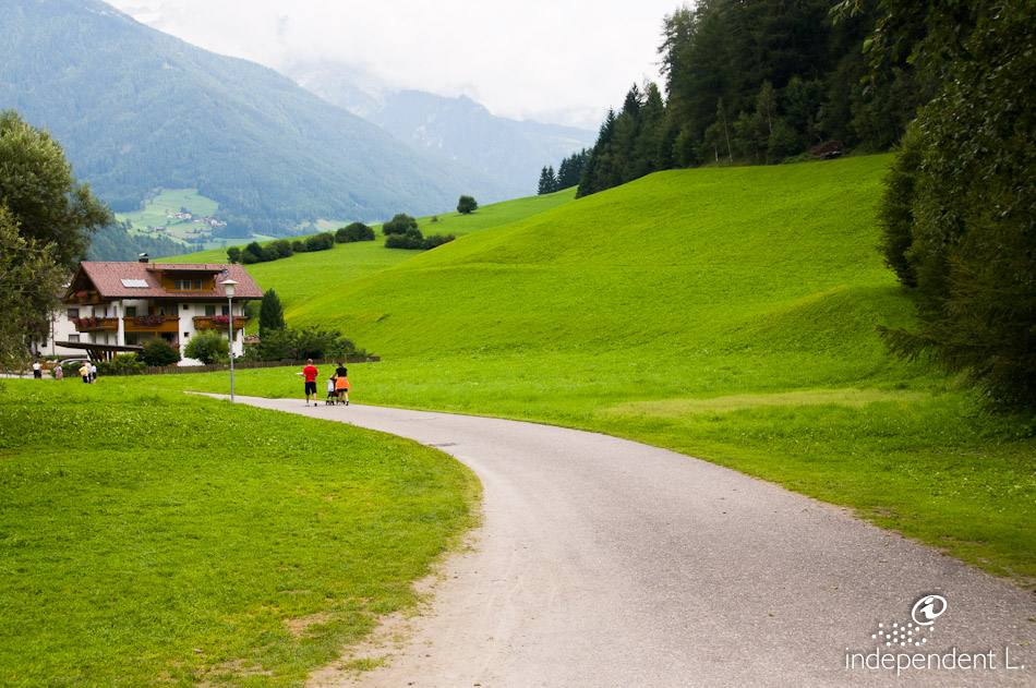
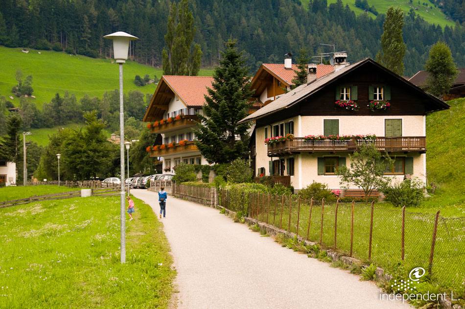
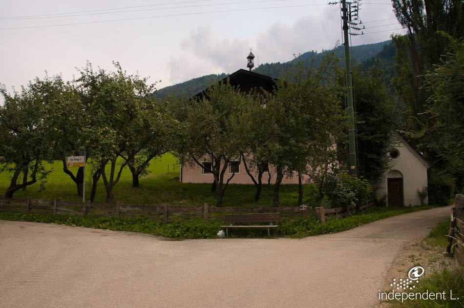
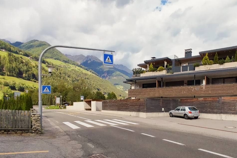
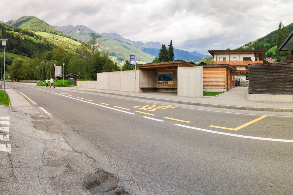
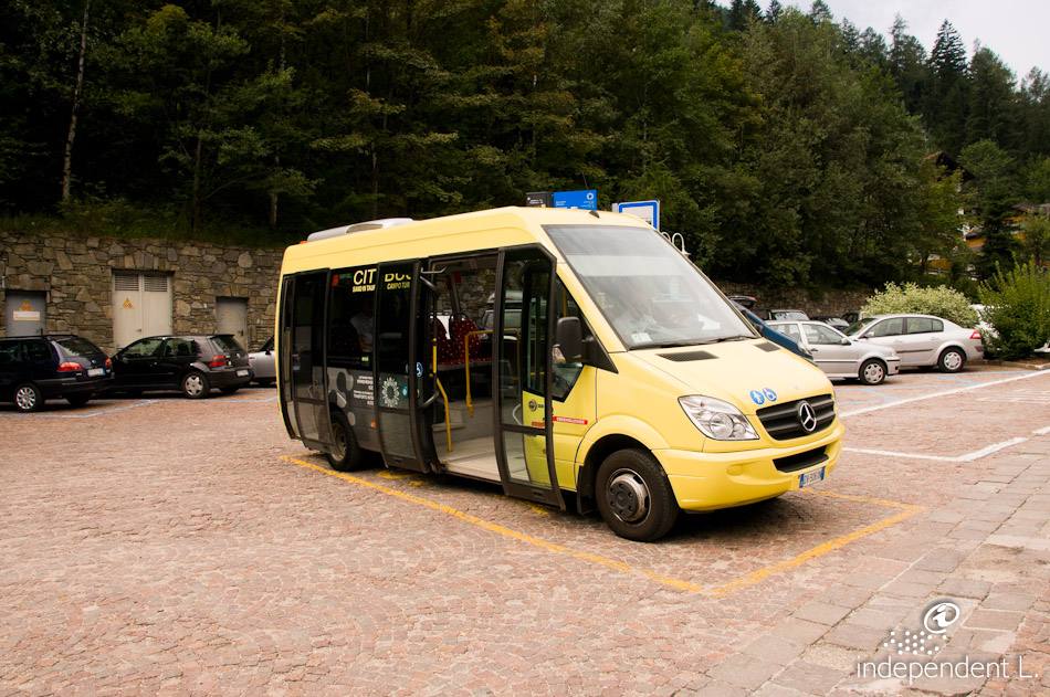
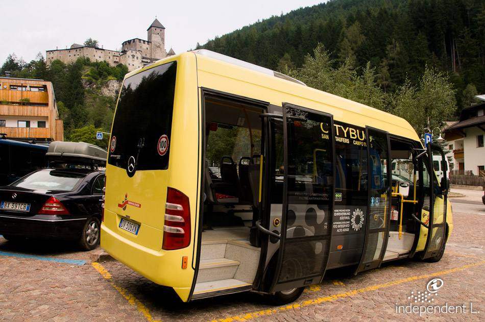
From the car park north of Sand in Taufers (870 m), we follow the gravel path (signpost no. 4) along the right bank of the Ahr, heading into the valley through the gorge. After a barrier, which is easy to get past, the path climbs gently at first, then becomes quite steep (13%) for around 900 m up to a wooden hut. The forest track becomes a bit bumpier and rockier in places. After a steep descent, the path continues to the left along the sidewalk next to the main road. After a short distance, cross the road on the pedestrian crossing and follow a wooden bridge to the opposite side of the stream, where the walk continues. After another barrier, which can be easily bypassed, we follow the small road along the stream through the forest. There are several rest areas with drinking fountains along the route. Once we have left the forest behind us, the path leads us through extensive meadows and eventually to a covered wooden bridge near Luttach (940 m). Without crossing this bridge, we stay on the unpaved road and reach a small housing estate (evening lighting). Near an old farm and a chapel, we turn left towards the main road, where the public transport bus stop is located. We follow the same route back to our starting point. Note: If you wish to avoid the first steep section, you can also start the walk at the Ahr bridge, where you can park near the Speikboden mountain railway.
there are inns in Sand in Taufers and Luttach
Luttach