The Old Val di Fiemme Railway
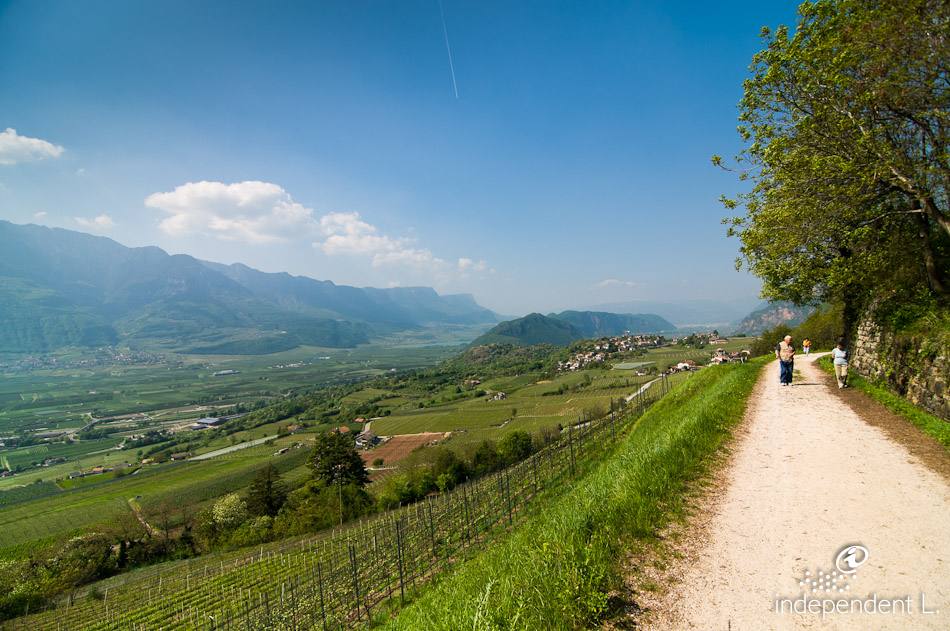
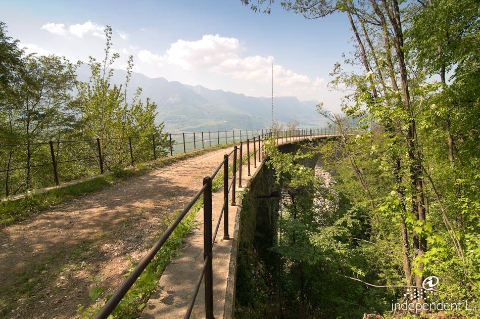
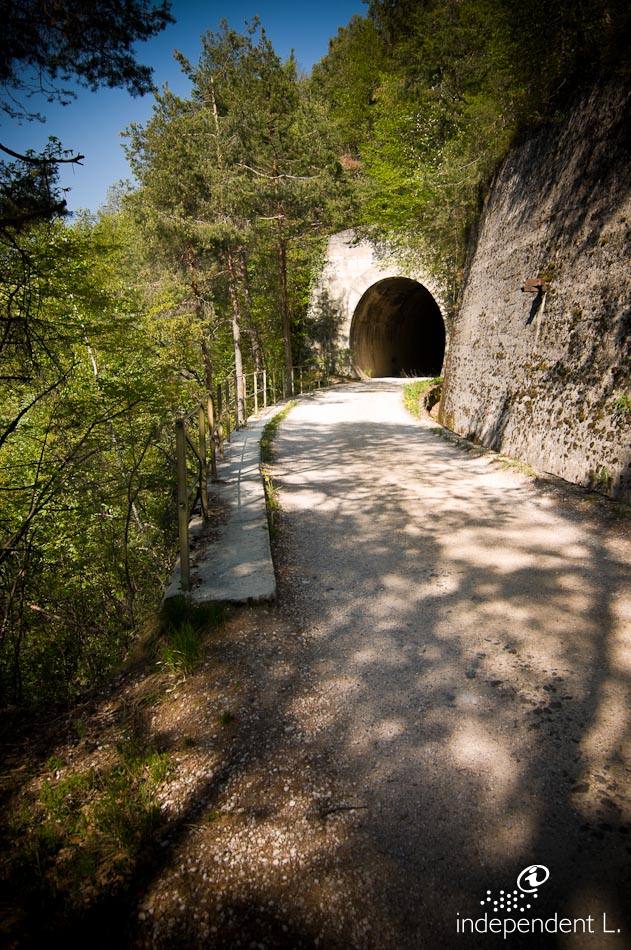
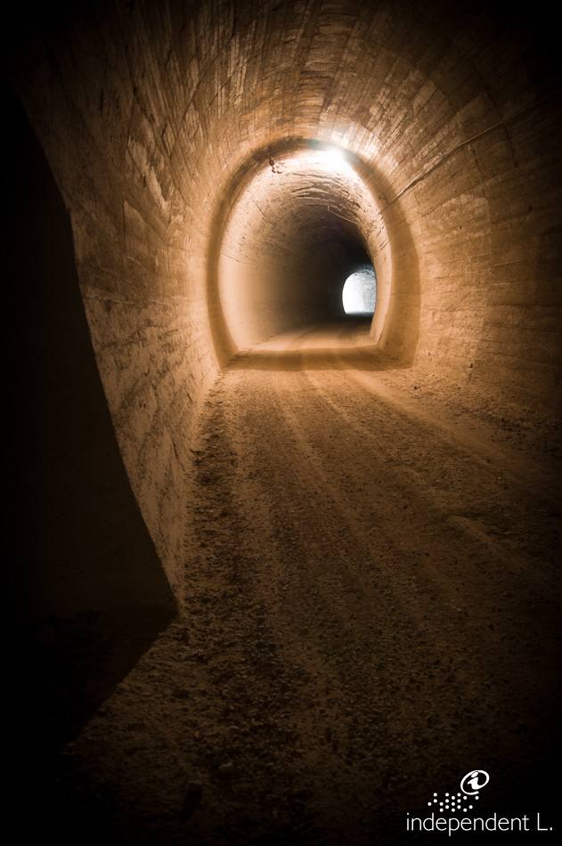
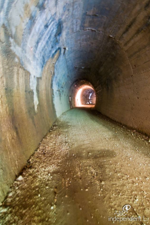
This trail follows the old railway line into the Fleimstal valley and offers stunning views of the middle Adige Valley, stretching from the Bolzano basin to the Salurn Gorge. The trail has a gentle, steady incline and passes through a poorly lit tunnel, so it is advisable to bring a torch.
Reachability
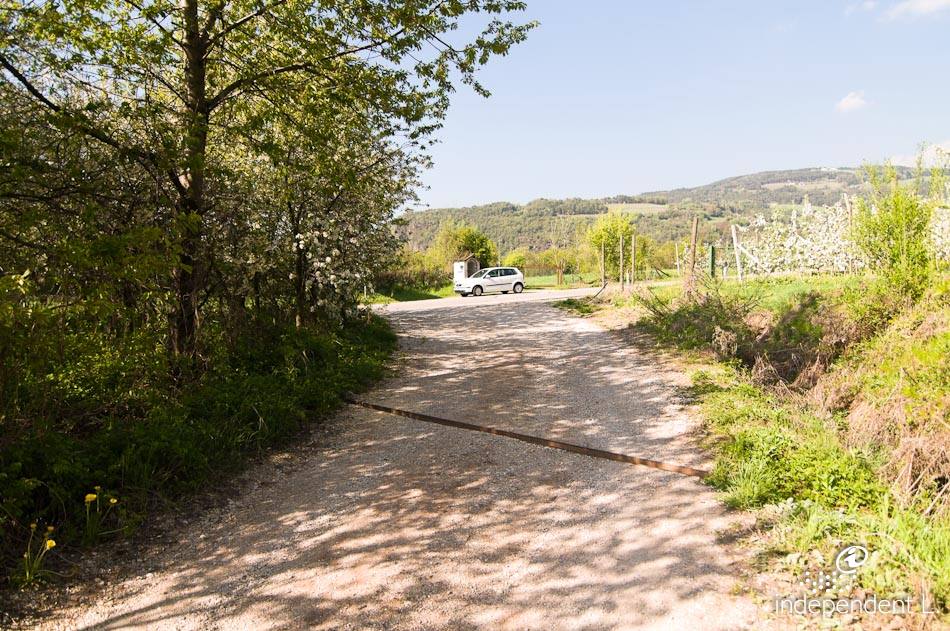
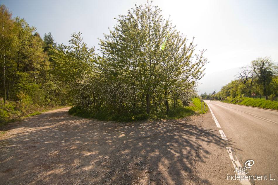
From Bolzano, take the main road towards Trento as far as Auer, then continue along the Dolomite Road towards Montan. Just before Montan, we park the car near the turn-off for Pinzon.
Description
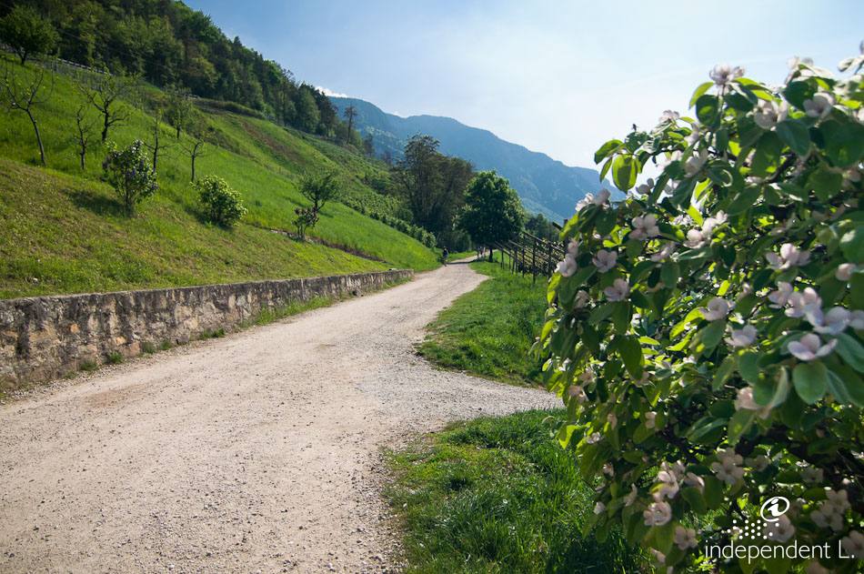
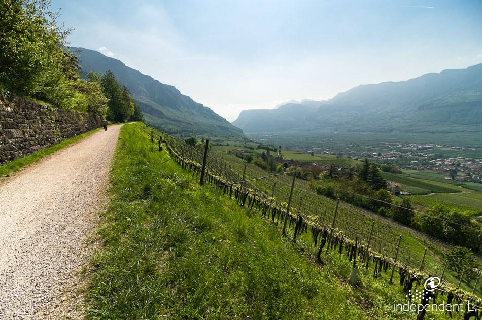
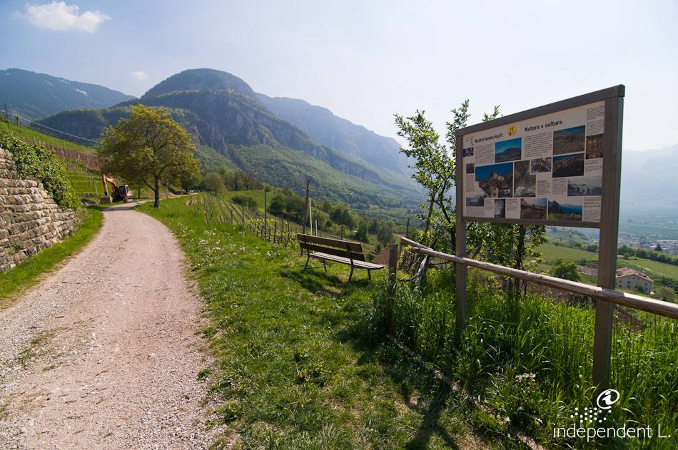
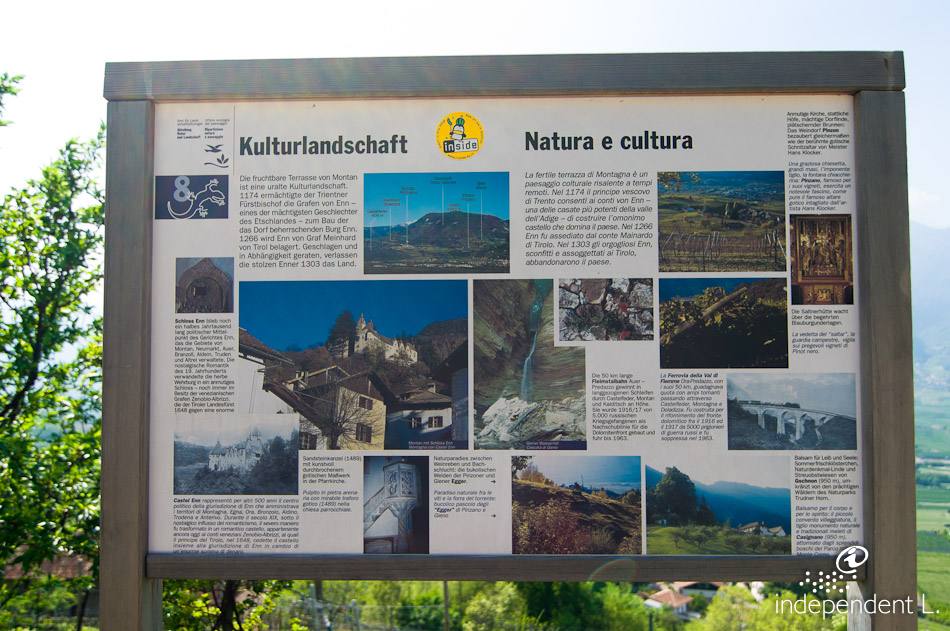
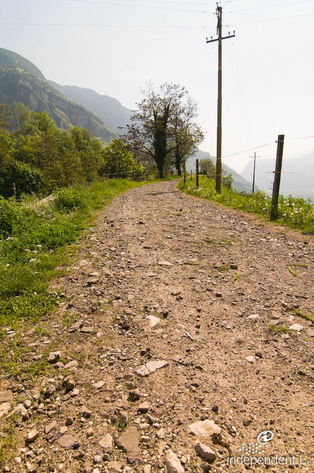
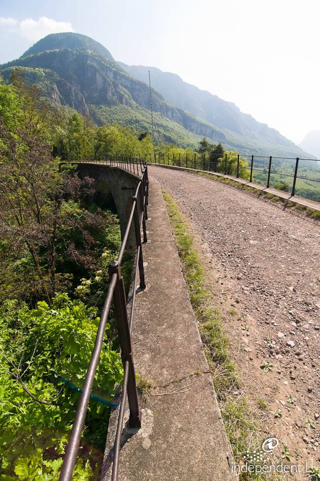
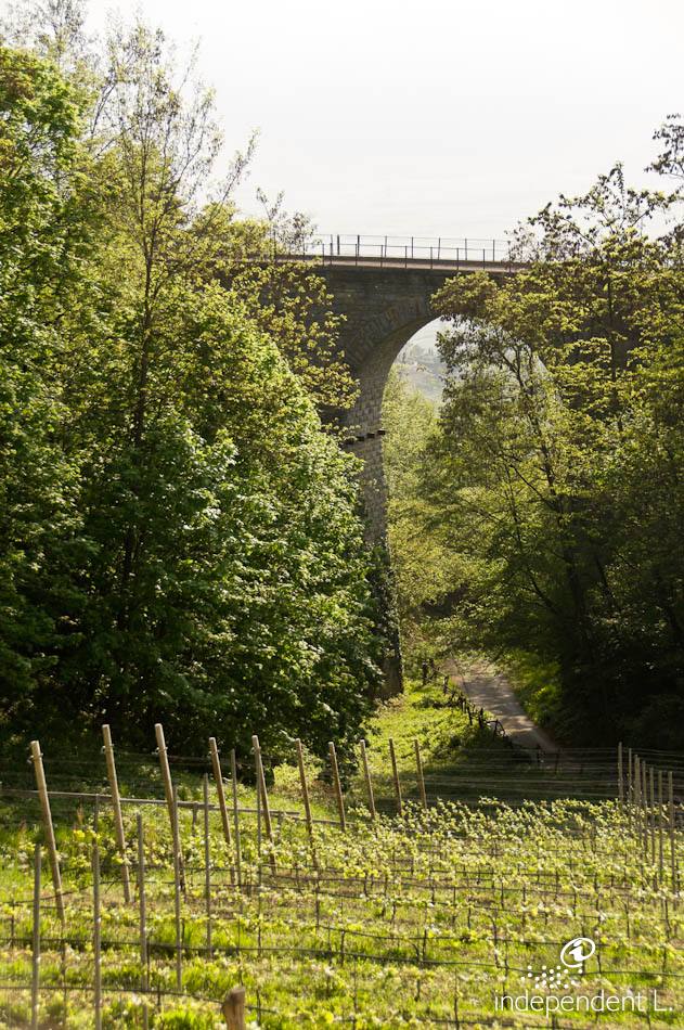
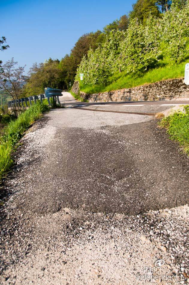
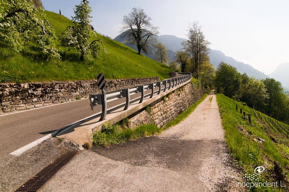
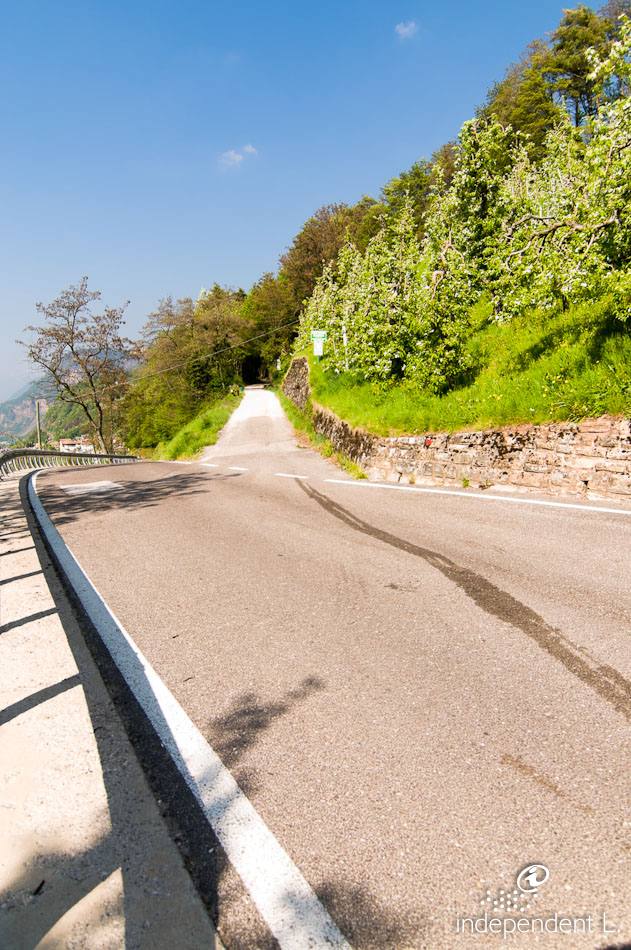
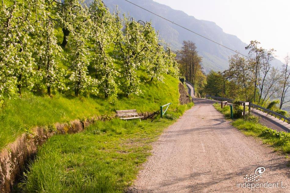
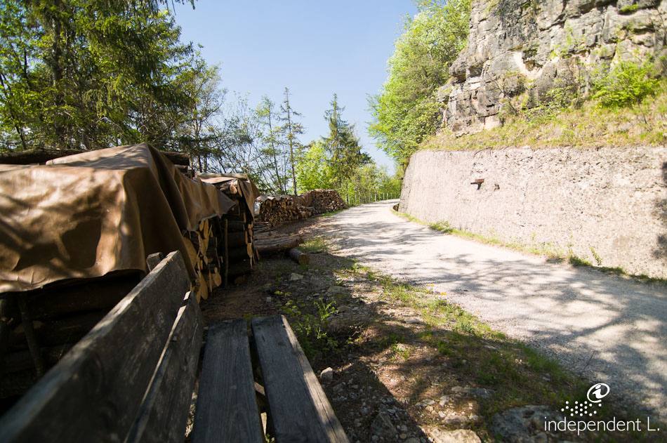
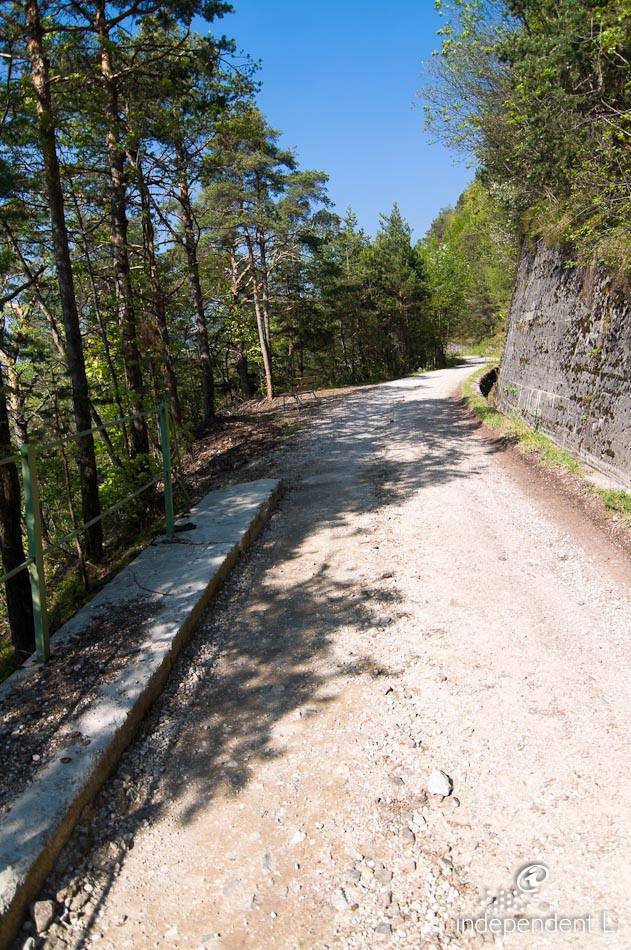
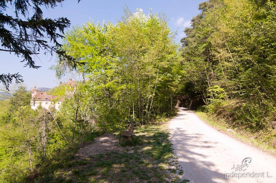
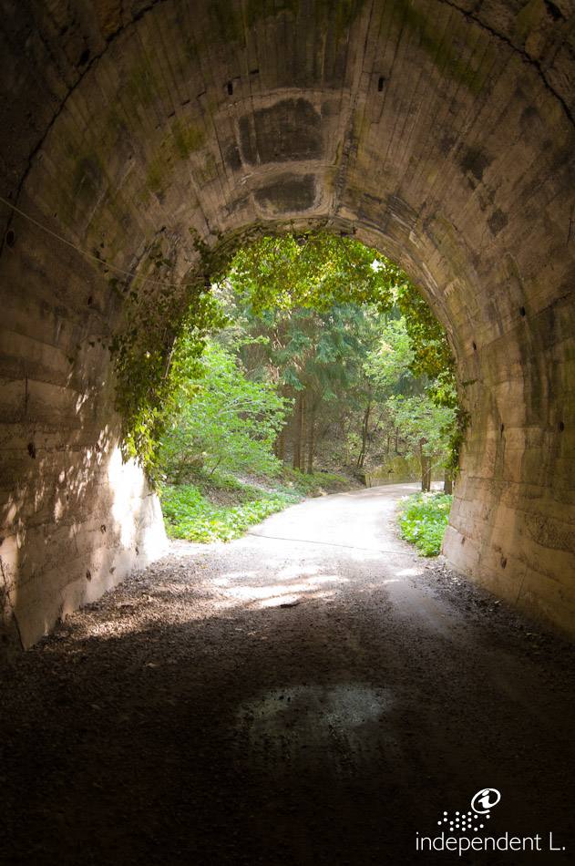
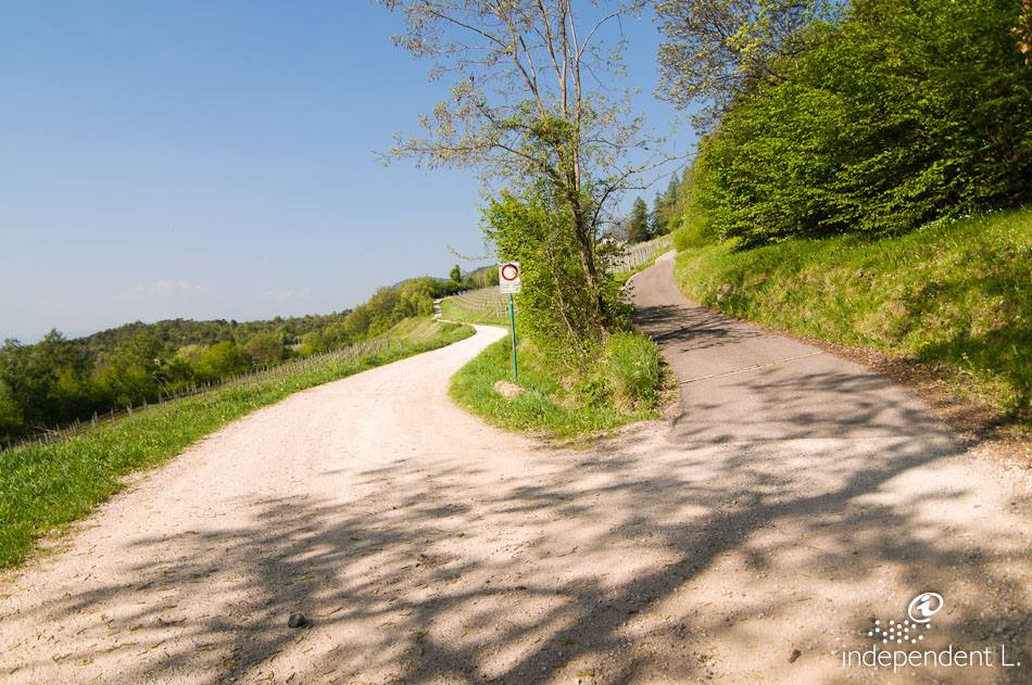
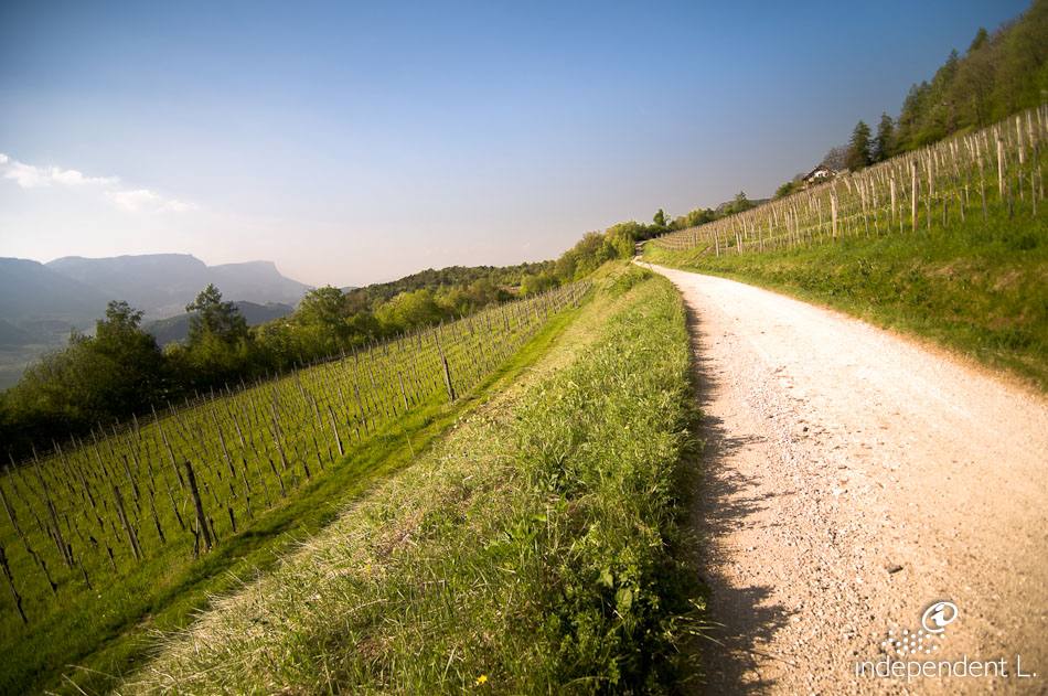
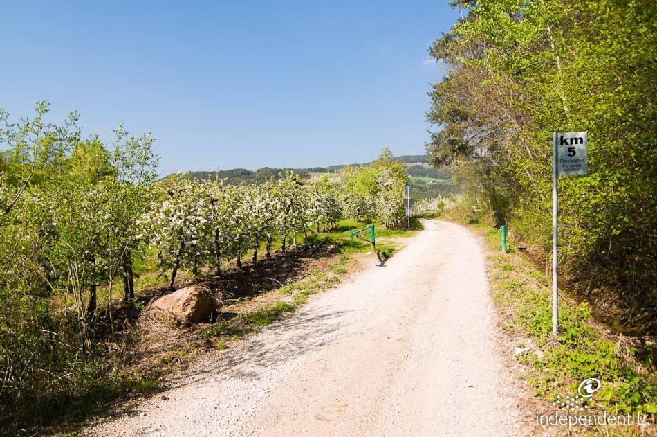
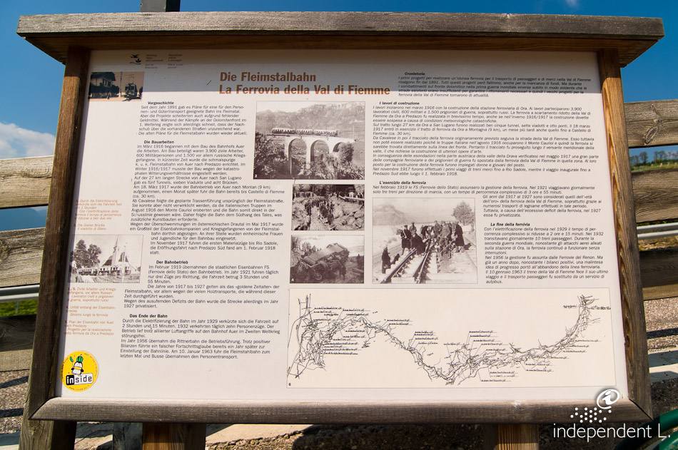
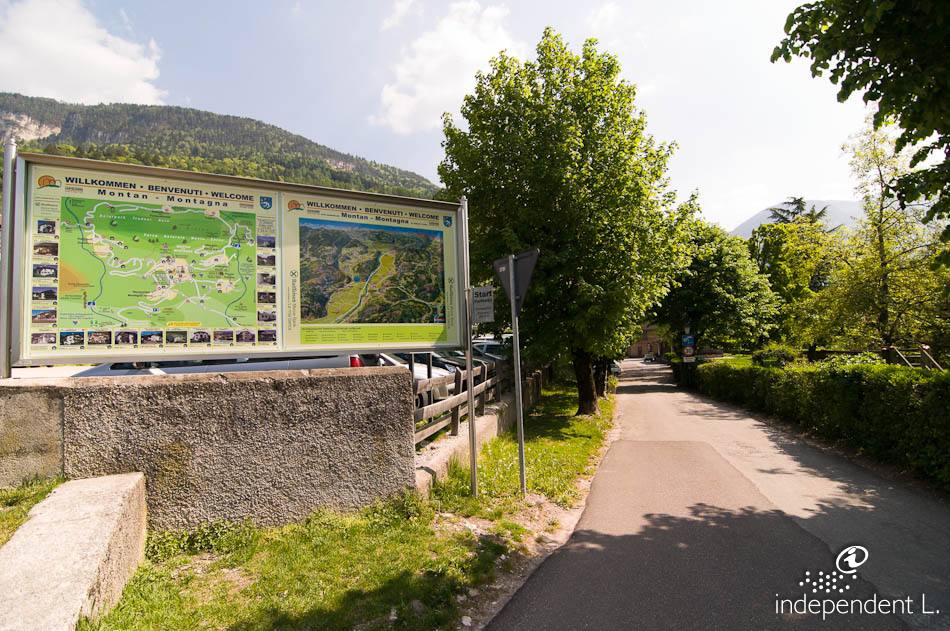
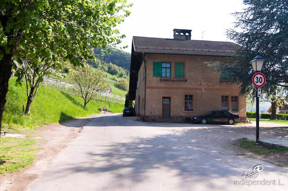
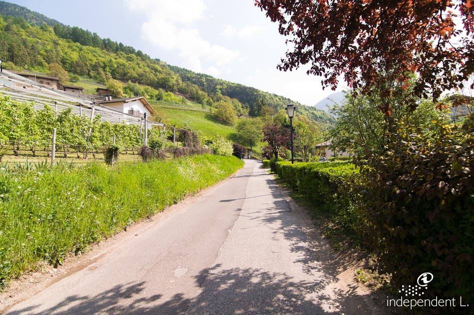
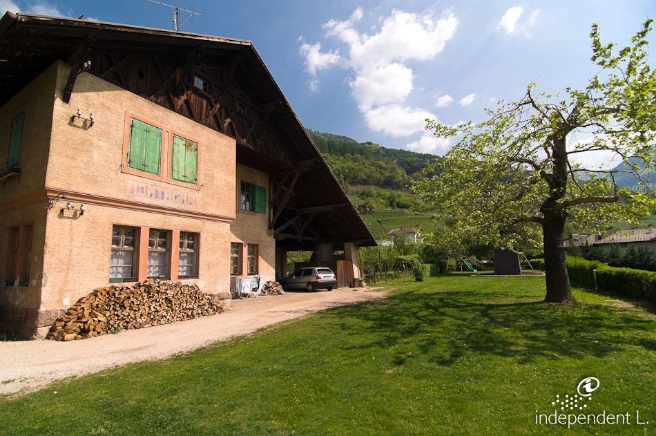
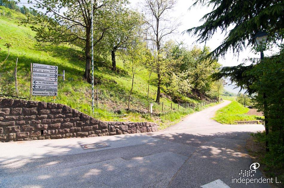
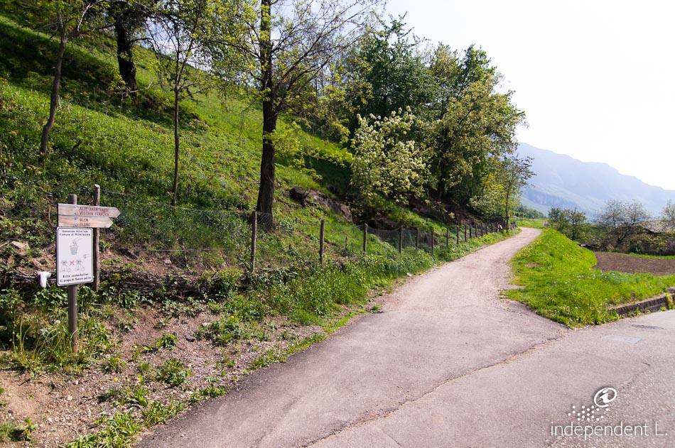
We start at the car park at the entrance to the village of Montan (450 m) and turn onto a small tarmac village road towards Pinzon, which leads to the old railway station. Passing a playground and the old Montan railway station, we cross a small road and from here follow the wide gravel path that runs along the old railway line: the railway into the Fleimstal valley was built in 1917 and remained in operation until 1963. With a steady gradient of around 6%, the path leads through magnificent vineyards along the hillside to just above Pinzon, where an information board describes the natural beauty and regional features of the area. This first section of the route is very sunny and numerous rest areas offer a magnificent view of the South Tyrolean lowlands. The path now becomes a little bumpier and leads over a semi-circular bridge (510 m) in a wide hairpin bend back towards Montan. Via a fairly steep, short access ramp (20%), we cross the road to Glen and reach the shady woodland on the slopes of the Cislon. A few rugged rocky outcrops are crossed on this section of the path via bridges and two tunnels, which are equipped with automatic lighting controlled by a timer. Not far from Enn Castle, the path leads us out of the forest onto the wide terrace at Kalditsch (600 m). Our hiking trail, marked with trail number 3, continues steadily from here to the junction with the Dolomite Road, where there is a bus stop. To return to the starting point at the car park, we follow the same route back. The hike can also be done in the opposite direction, starting from the bus stop on Dolomitenstraße (limited parking) and heading down to Montan.
mountain bikers