Walk around Lake Haider
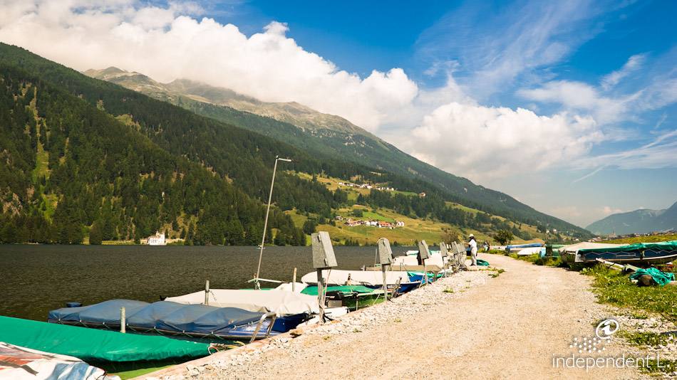
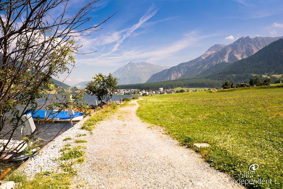
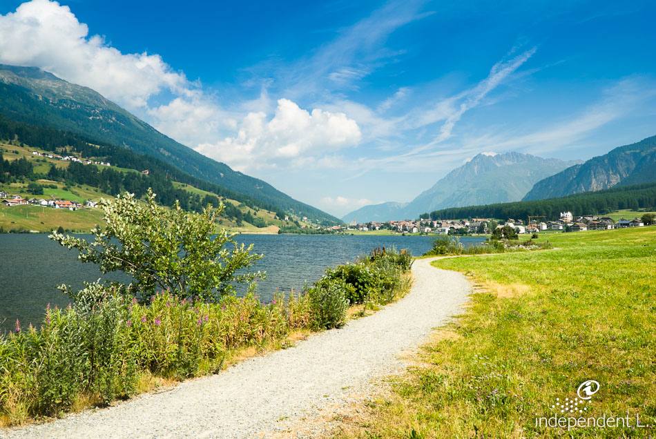
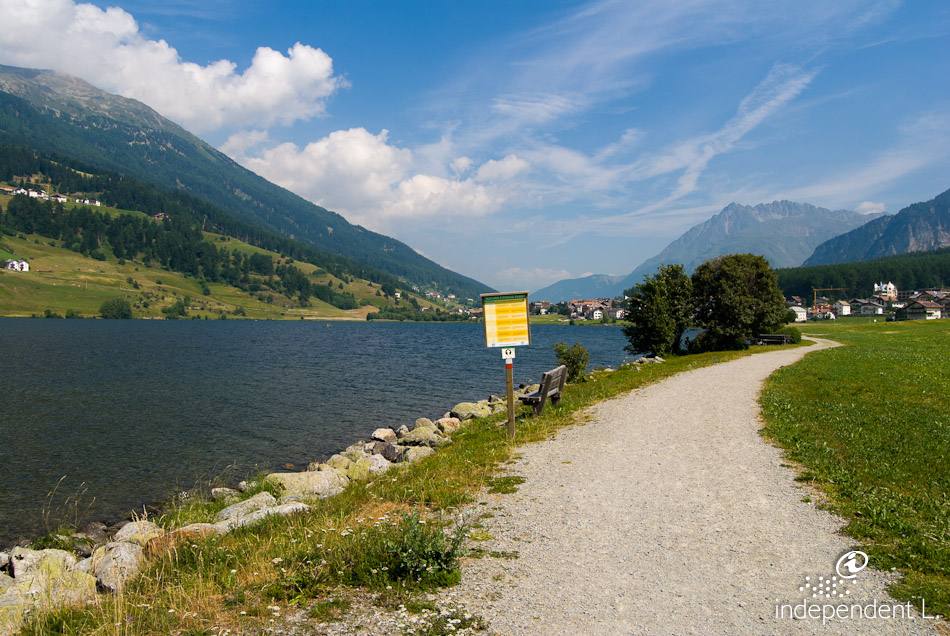
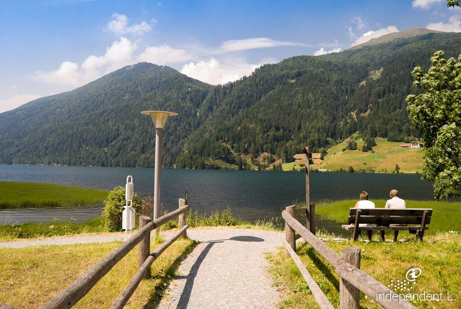
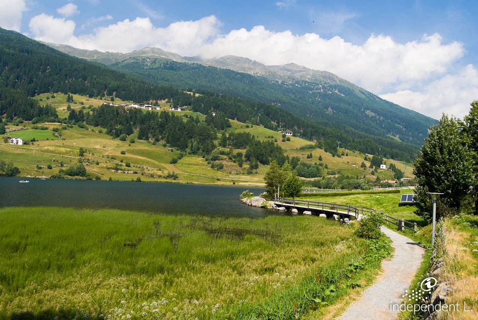
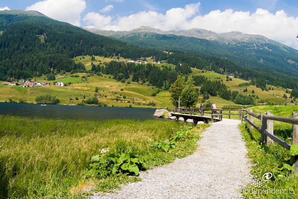
Lake Haidersee is a natural alpine lake situated at an altitude of 1,450 metres in the municipality of Graun in Vinschgau. Surrounded by beautiful mountain scenery, the lake is a popular destination for recreational fishing. The circular route around the lake is mostly very even. Only the final section of the path has a very steep gradient (20%) and an uneven wooden walkway.
Reachability
From Bolzano, take the MeBo motorway to Merano and continue towards the Reschen Pass through the Vinschgau Valley. Passing the villages of Mals and Burgeis, we reach the small hamlet of Fischerhäuser and park directly by Lake Haider, opposite the Alpenrose inn (no reserved parking spaces for people with disabilities).
Description
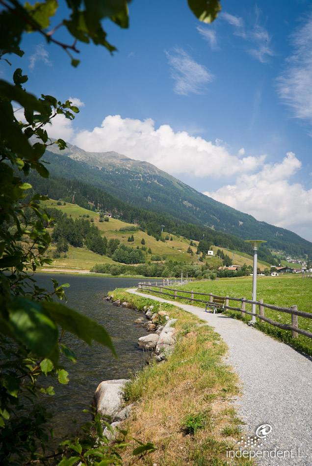
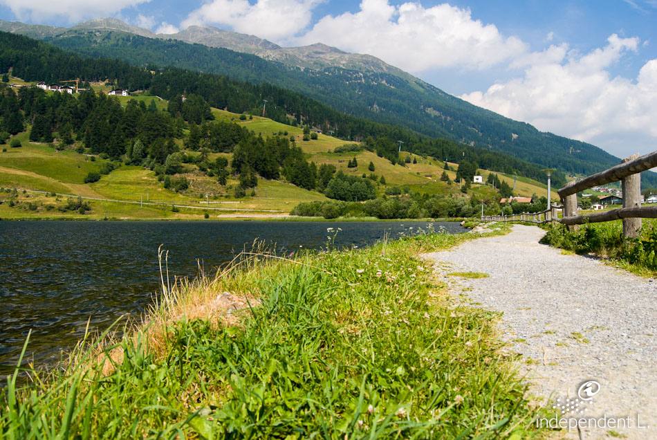
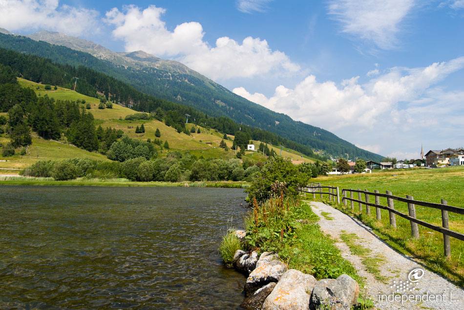
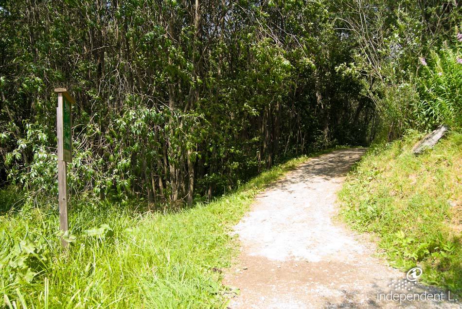
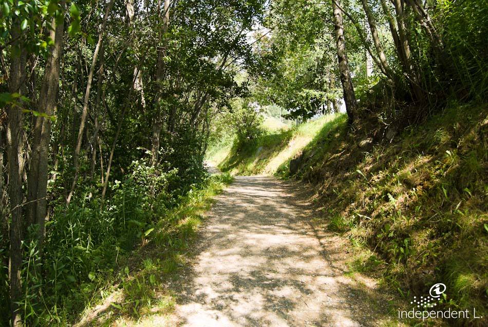
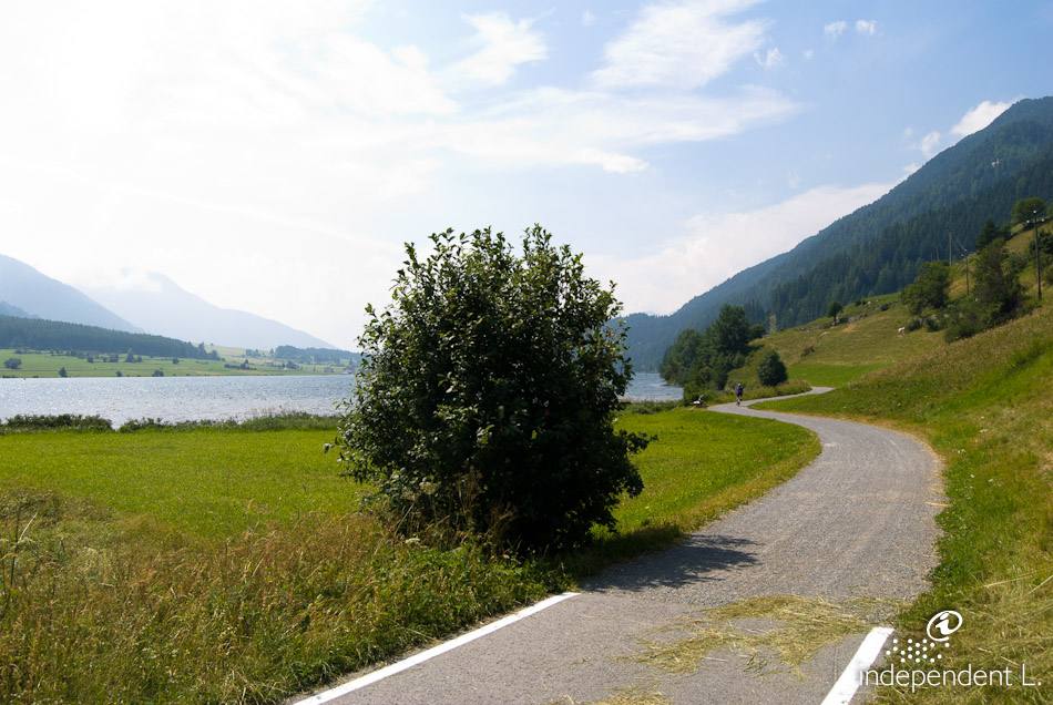
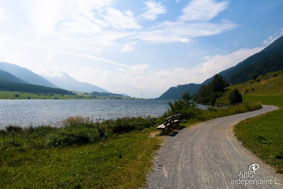
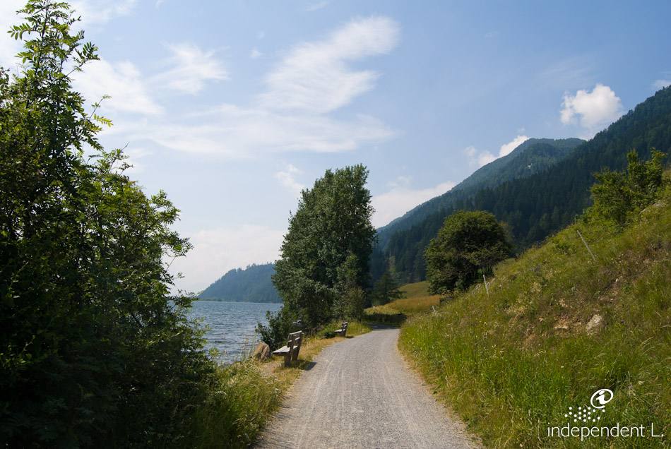
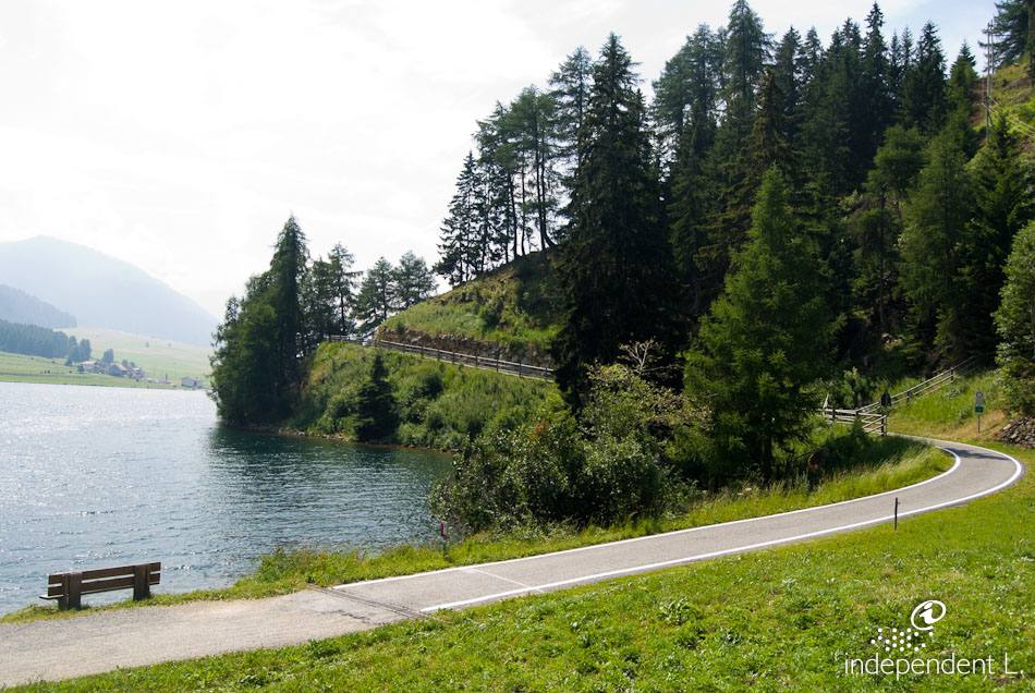
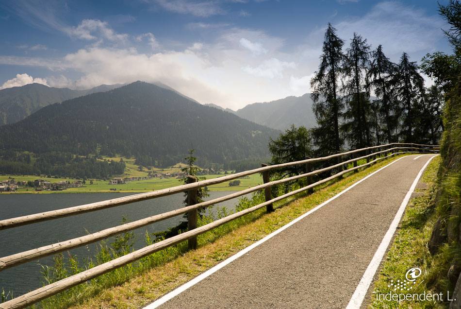
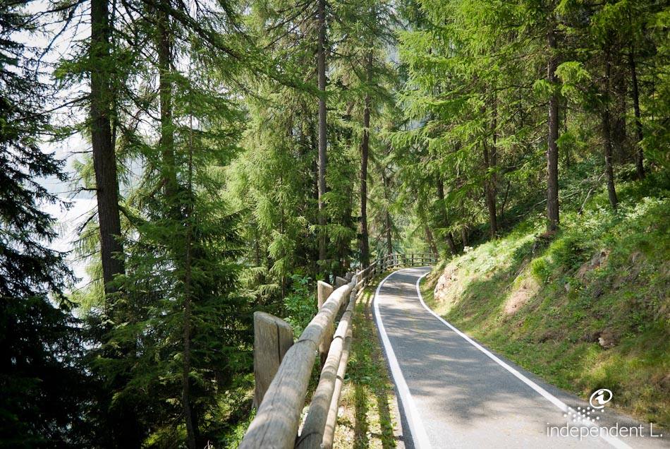
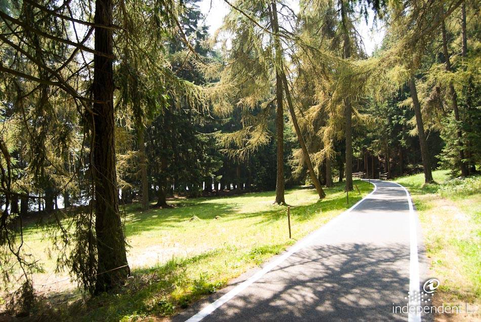
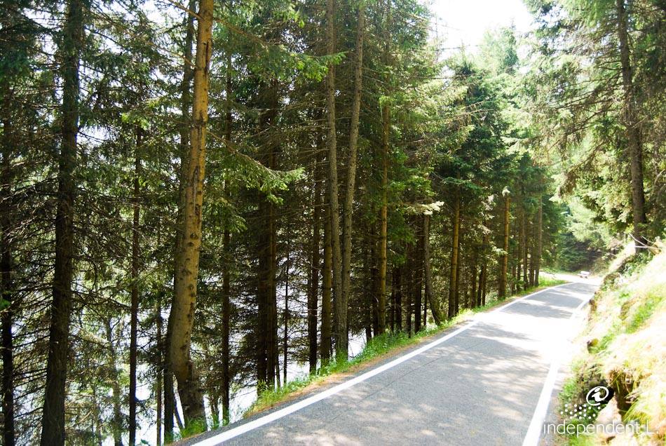
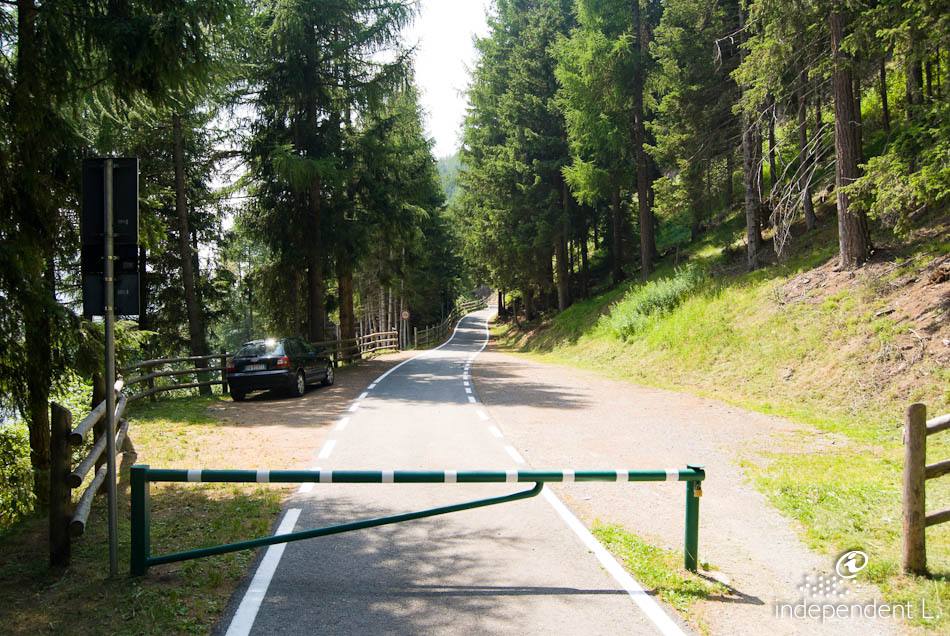
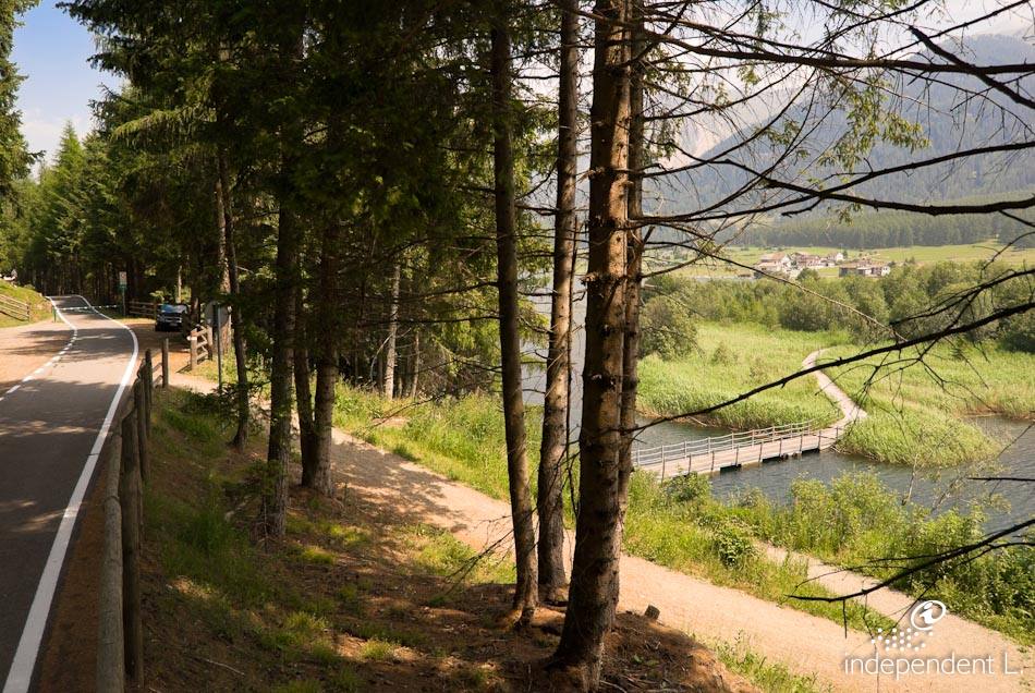
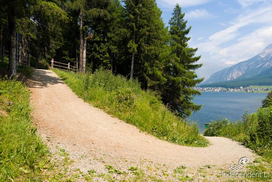
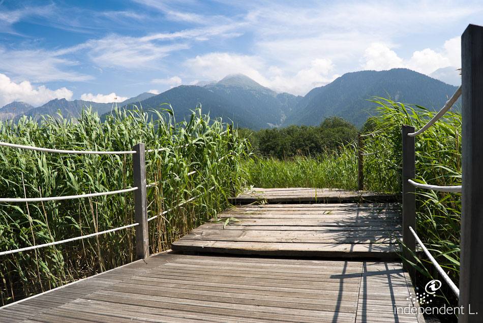
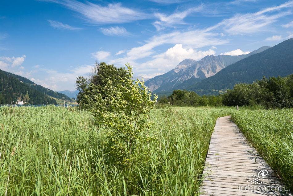
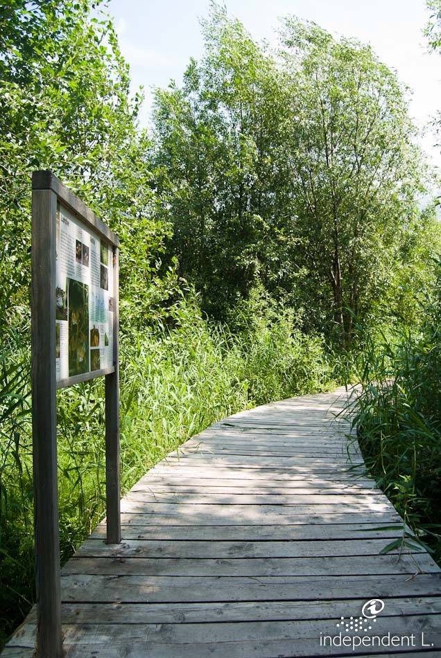
Starting from the car park (1,453 m), we turn right onto the footpath towards St. Valentin. The path, made of compacted earth and gravel, runs directly along the lakeshore, where numerous small fishing boats are moored. Whitefish, trout, pike and perch are just some of the fish species native to Lake Haider. The circular route around the lake is very flat at first. There are numerous rest areas and places to sit along the way. Passing the extensive reed beds, we reach a fork in the path on the right, where you can turn off to reach the village centre of St. Valentin auf der Haide (1,470 m). At the level of this junction leading into the village, we climb a small hill with a 12% gradient. However, we stay on the lakeside circular path and continue straight ahead. From this point to the next wooden bridge, the footpath is also lit in the evening. After crossing a wooden footbridge and a short, steep 19% climb, we reach a tarmac road a short while later. Here we turn left, cross a bridge and follow the tarmac cycle path out of the valley. The surface changes and, on a wide gravel path, we eventually reach a hairpin bend. After a steep 10% climb (50 m), the cycle path winds its way through the forest with a series of gentle ups and downs (gradients of 10%) until we finally reach a barrier (1470 m). From here, the circular route leads down a very steep slope (18–22%) over earth and gravel towards the lake. Via an uneven wooden footbridge with significant changes in height, we finally return to our starting point.
after that, for families and senior citizens
solid earth
asphalt