Walk to the Melagalm
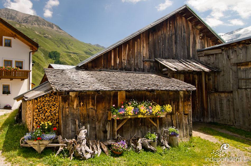
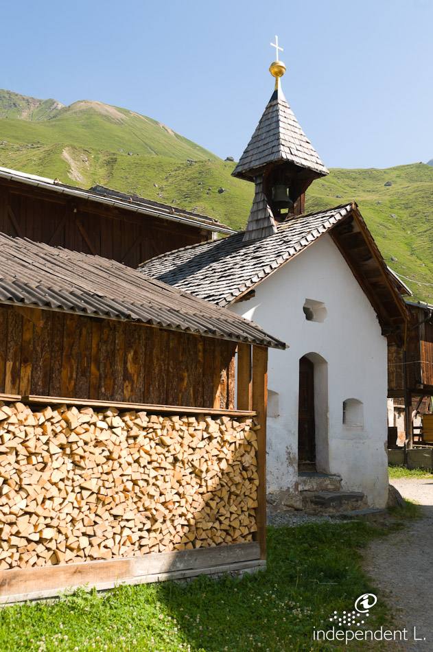
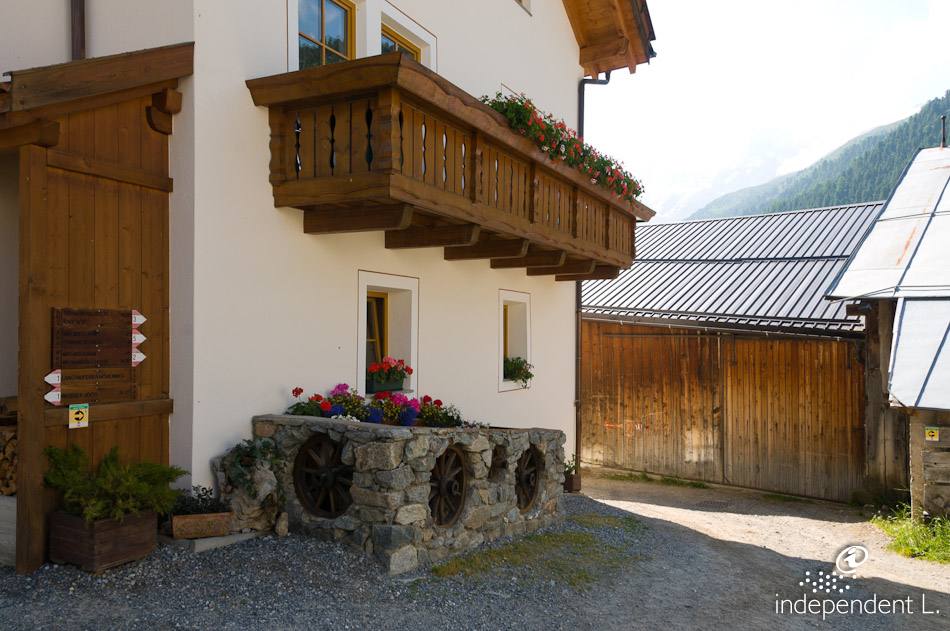
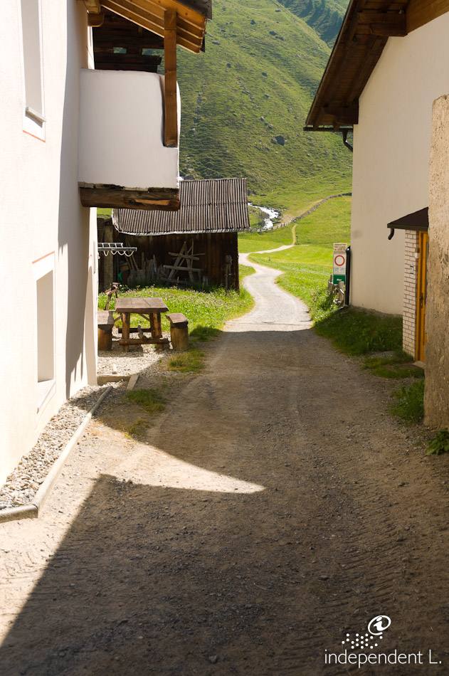
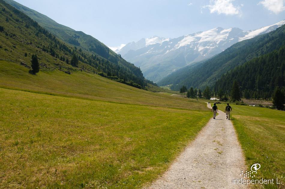
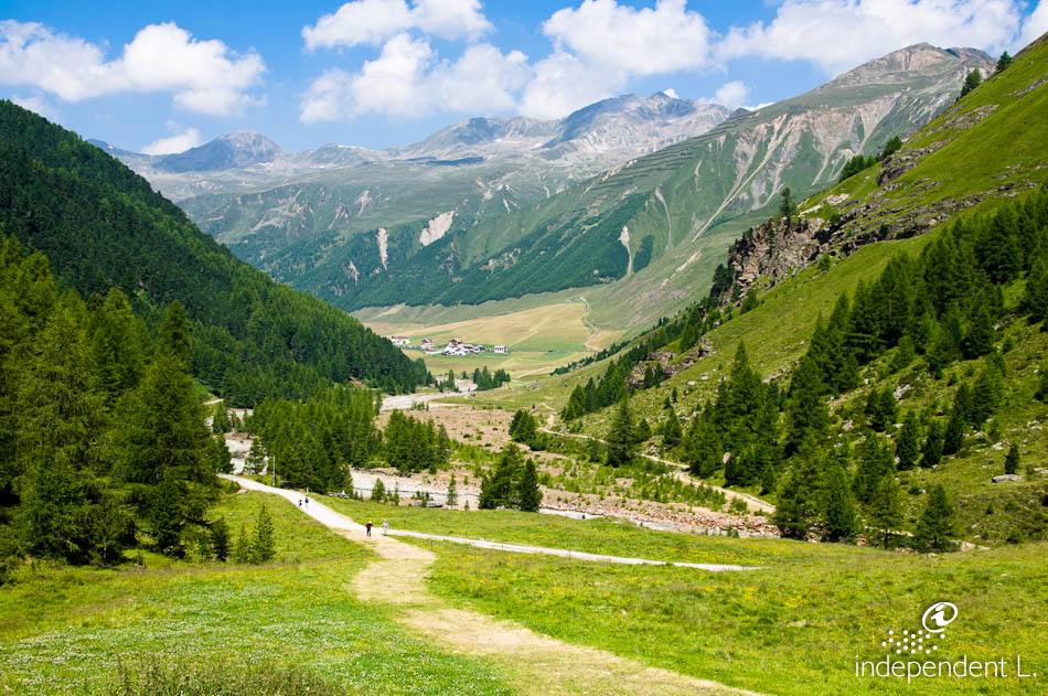
This hike in Upper Vinschgau leads to a beautiful mountain pasture below the Weisskugel Glacier (3,738 m), offering magnificent views. Although the route is relatively short, the hike still takes in stunning natural scenery and can be extended as desired by following the forest paths along the left bank of the Karlinbach stream.
Reachability
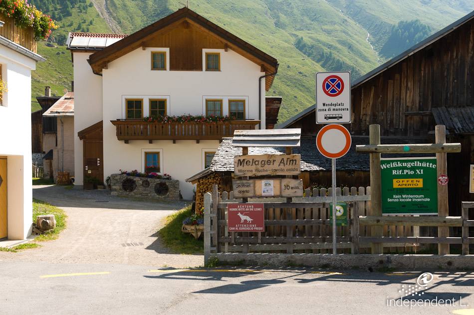
From Bolzano, take the Mebo motorway to Merano, then continue through the Vinschgau Valley towards the Reschen Pass to Graun. In the village of Graun, turn right into the Langtaufer Valley and continue to Melag, where the road ends at a car park with reserved spaces for people with disabilities.
Description
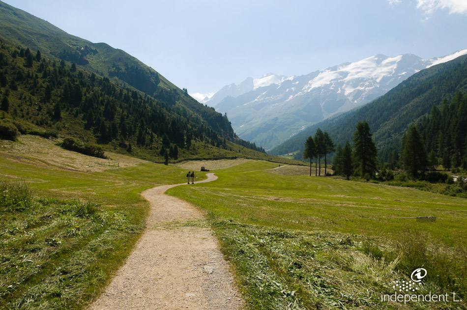
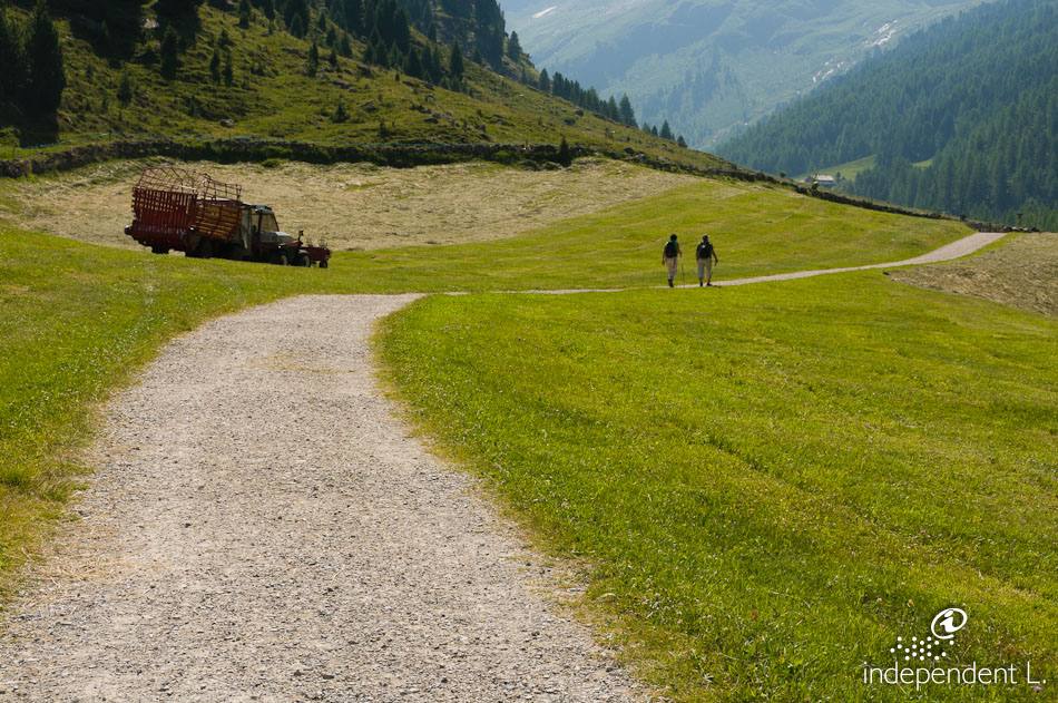
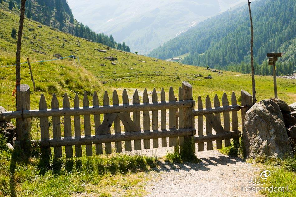
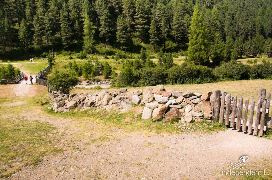
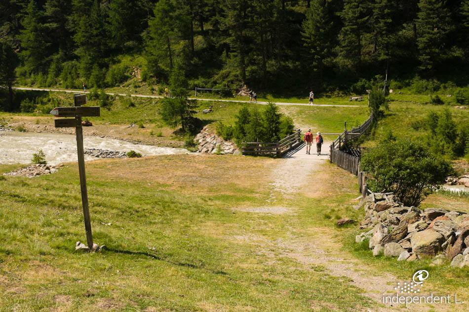
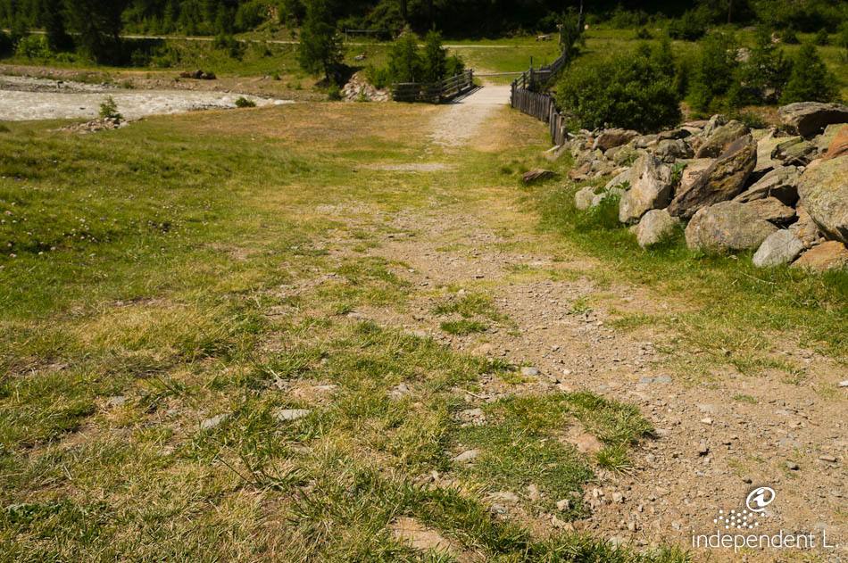
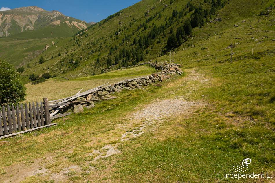
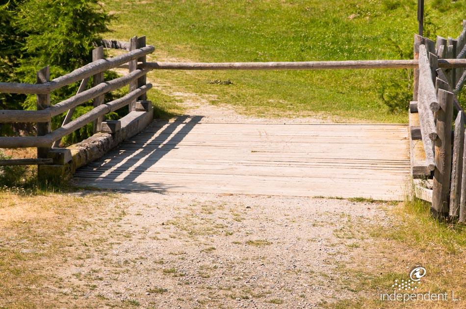
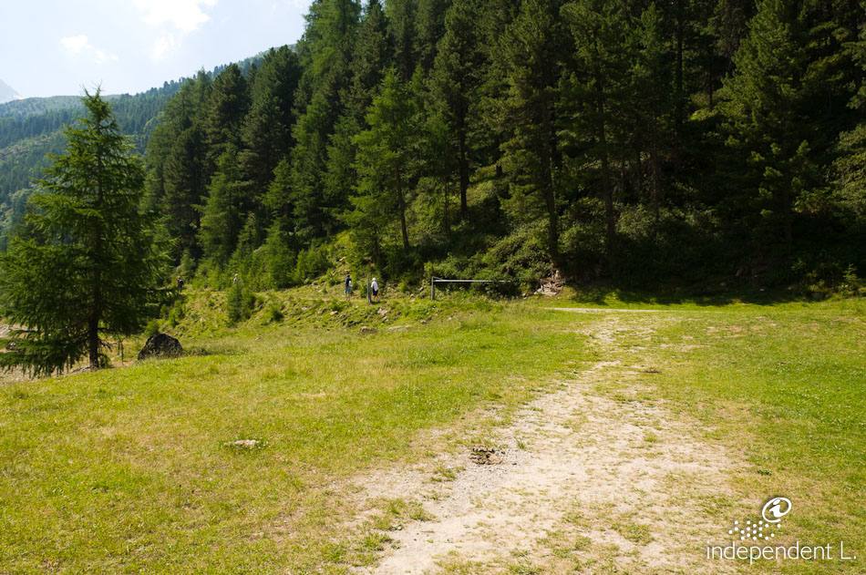
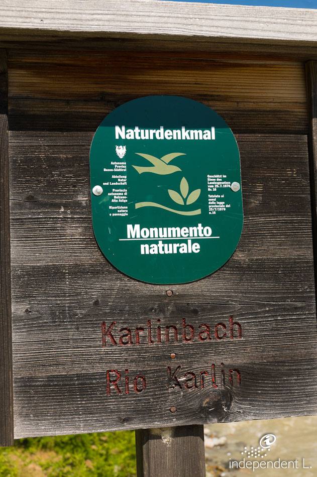
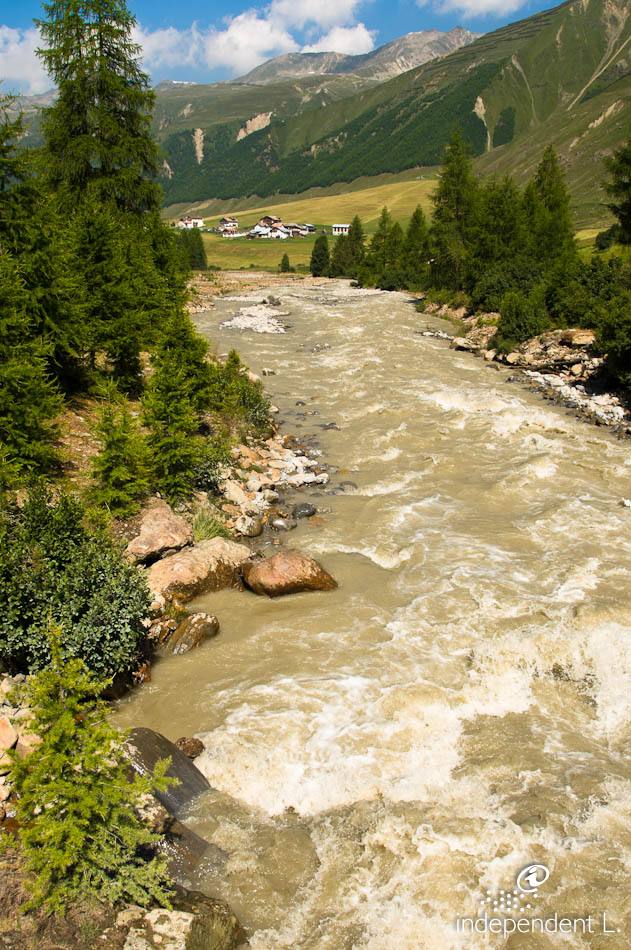
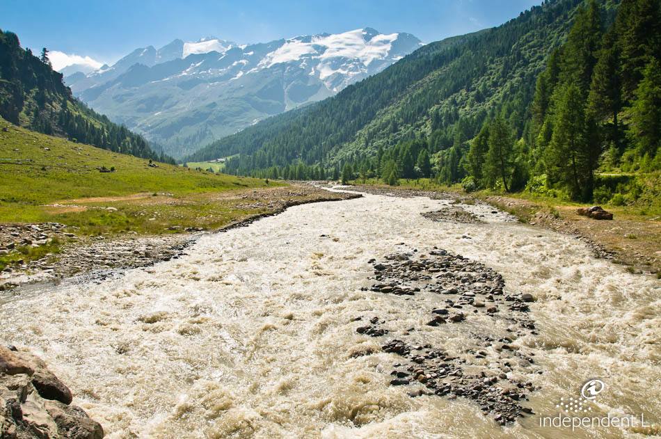
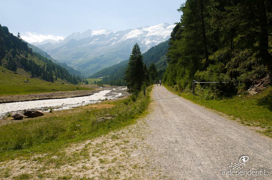
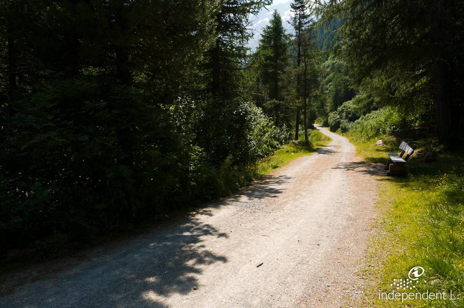
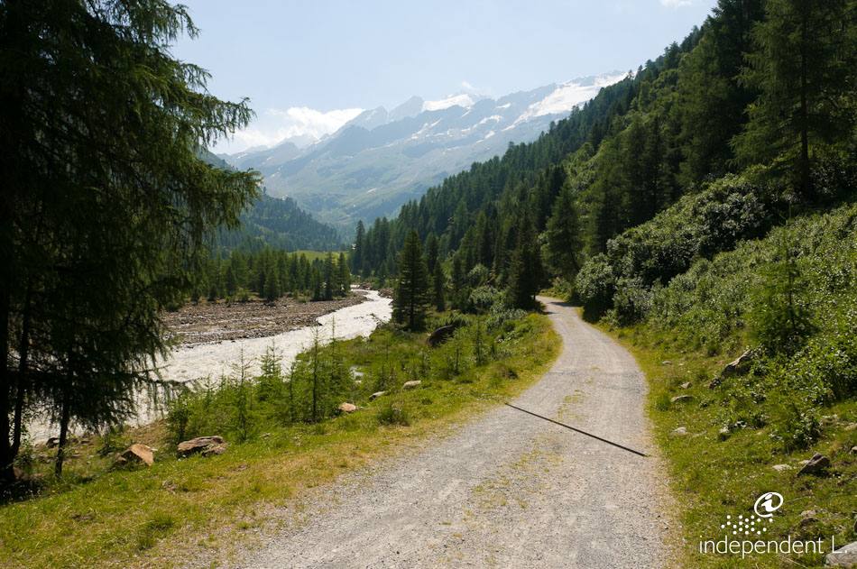
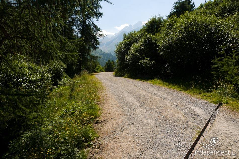
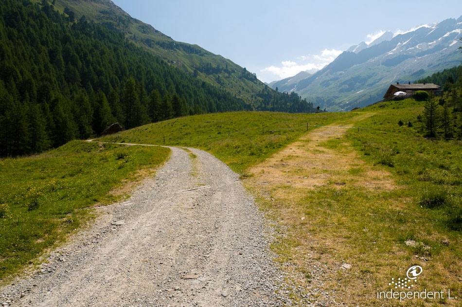
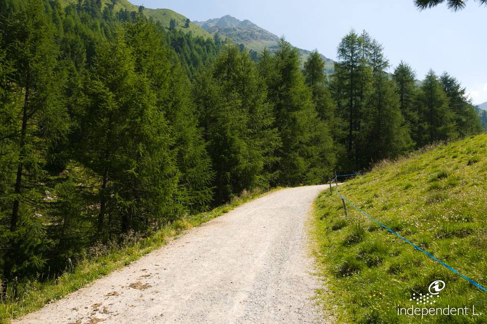
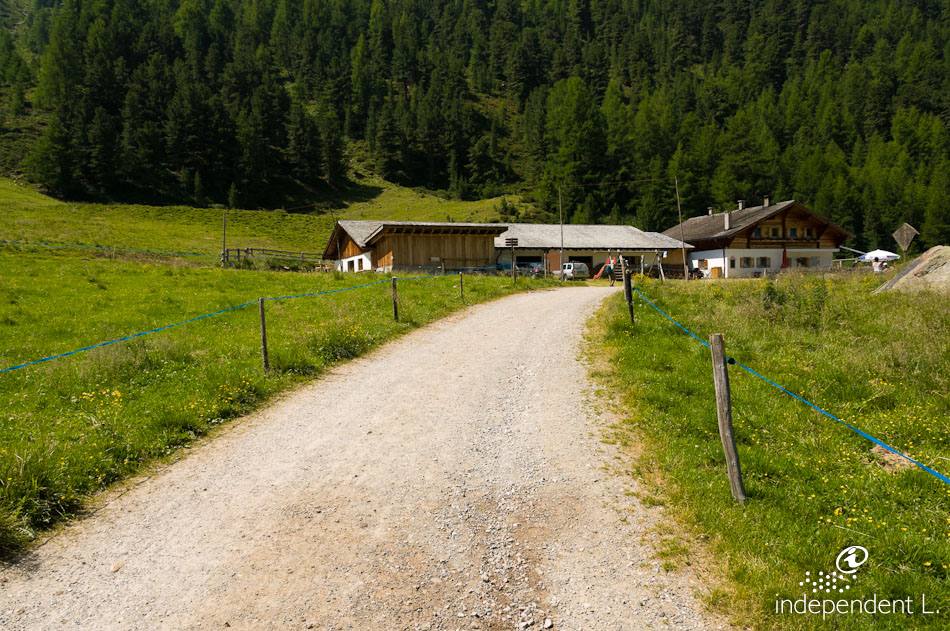
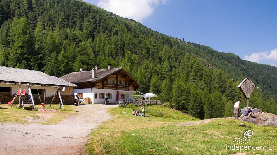
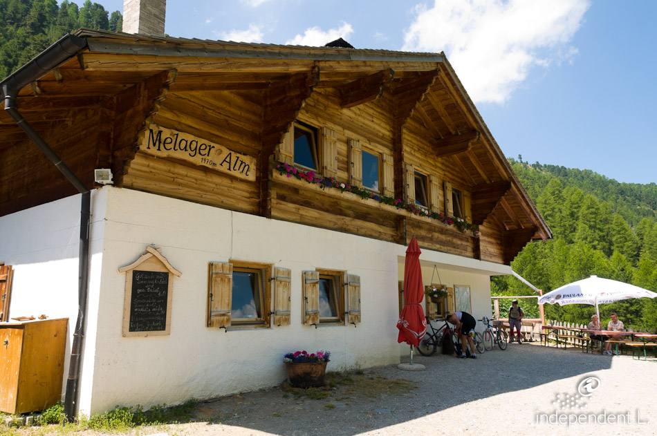
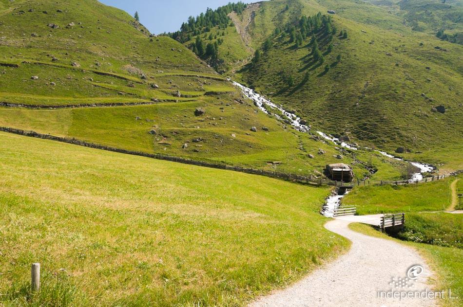
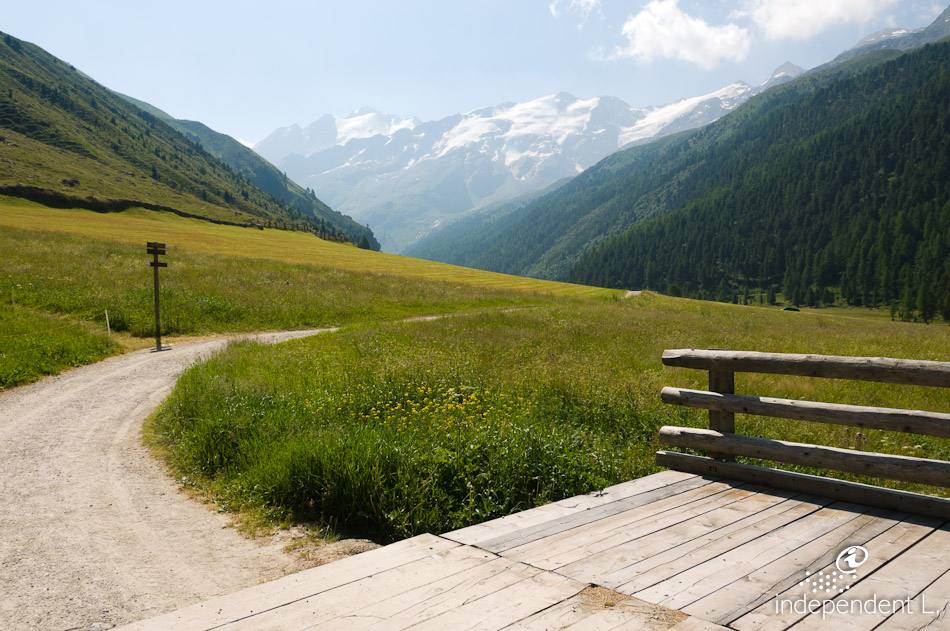
Just past the small, picturesque village of Melag (1,912 m), turn onto forest road no. 5, which leads gently downhill to the wooden bridge over the Karlinbach. Passing wide meadows, with a beautiful view of the mighty glaciers of the Weisskugel range, the walk continues on level ground for a while. Passing the signpost for the Weisskugelhütte, you eventually reach a gate (1,905 m). With a gradient of 19%, the path leads from here down to the right towards the Melagalm (signpost no. 5) to a small wooden bridge, which takes you across the Karlinbach (natural monument): This section of the trail requires particular caution, as the path is especially bumpy, stony and very steep (19%) at this point. Sometimes the bridge crossing is also closed off with a barrier to prevent grazing animals from passing through. This section of the trail can then only be crossed with assistance. The path then climbs briefly until we reach a forest track with a solid gravel surface, where we turn left. We continue along this track further into the valley, with a moderate gradient (10%) in places and then almost flat again alongside the rushing mountain stream. There are a few benches along the way, offering a welcome opportunity to rest. After a final, somewhat steeper climb, we finally reach the Melagalm (1,970 m), which operates as a snack bar in summer. You return to Melag via the same route.
after that, for families and senior citizens
mountain bikers
Melagalm