Walk around Lake Reschen
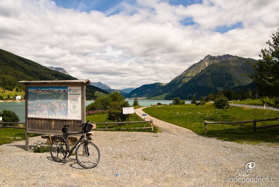
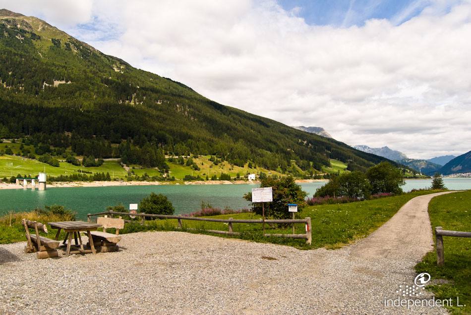
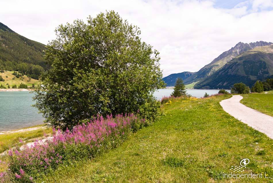
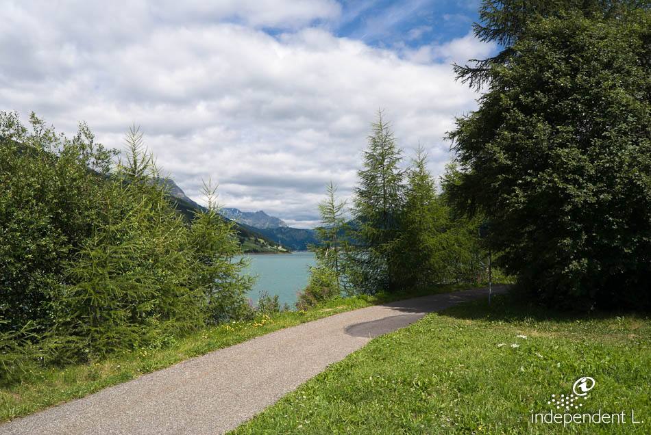
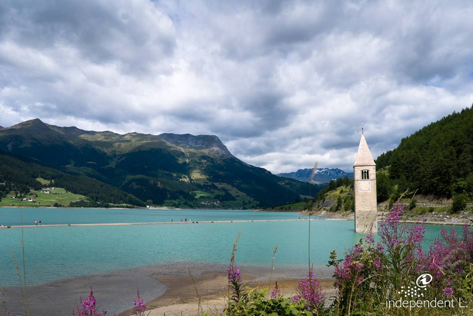
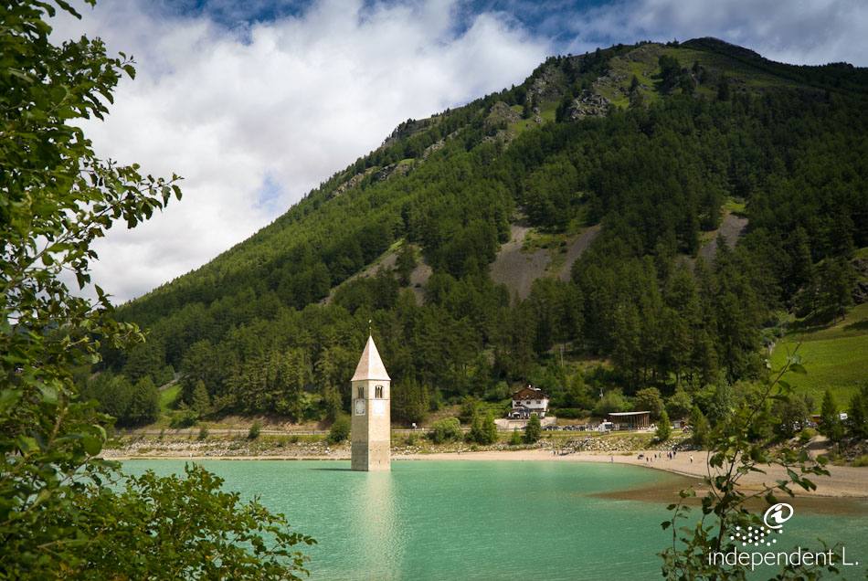
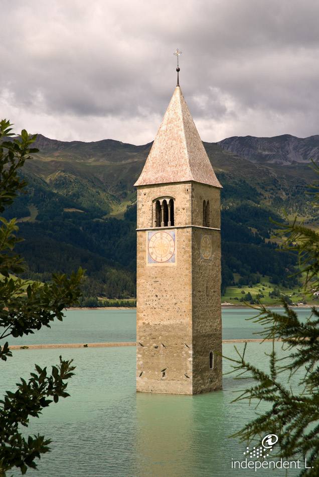
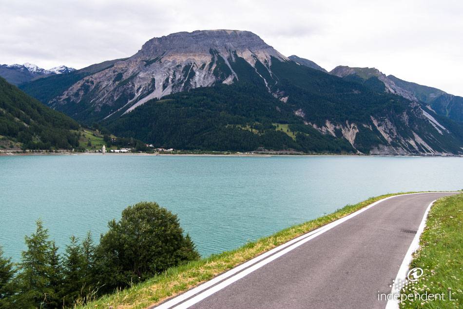
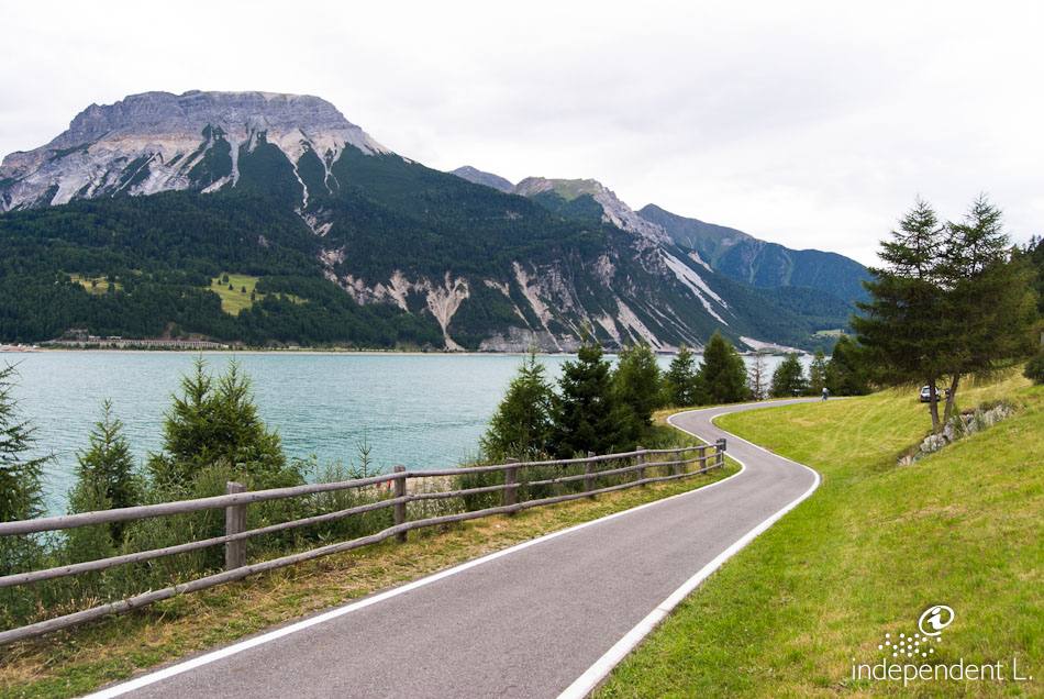
The landmark of the Vinschgau Valley is the church tower rising out of the waters of Lake Reschen. The village was flooded in 1950 to build a dam connecting the original Lake Graun with Lake Reschen. This created the current reservoir, which is 6 km long and up to 1 km wide. The walk around the lake can be divided into two halves: the first section to Reschen is mostly straight and flat, whilst the second part of the hike is characterised by constant ups and downs (gradients of 8–10%).
Reachability
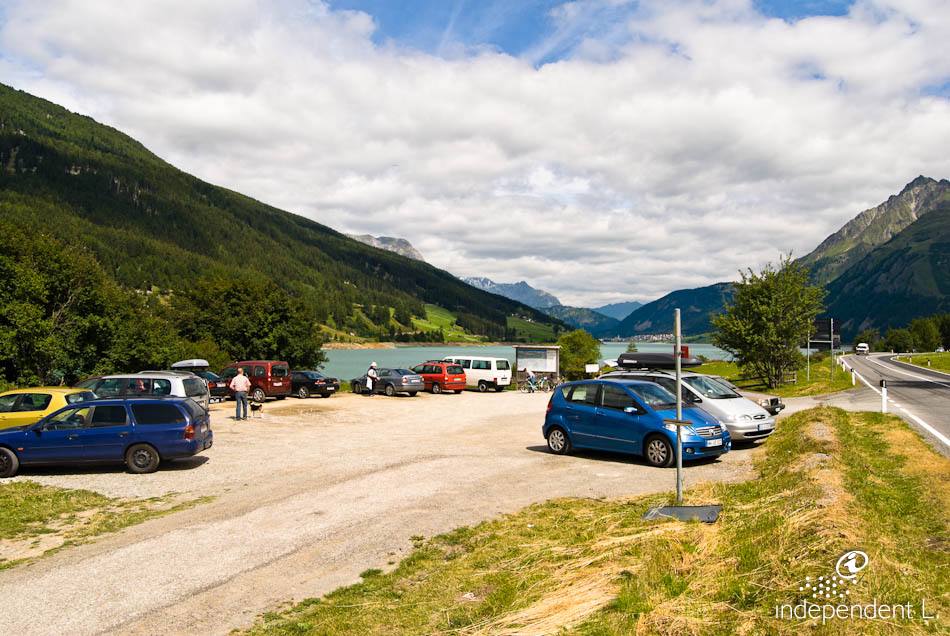
From Bolzano, take the MeBo motorway to Merano and continue towards the Reschen Pass. After the village of St. Valentin auf der Haide, we park right next to the dam.
Description
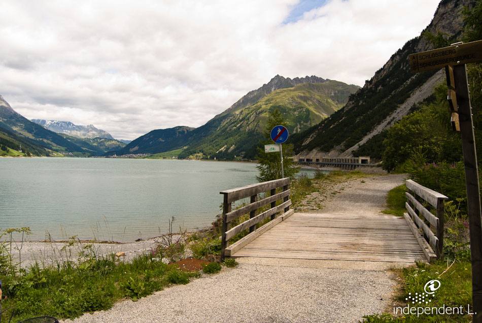
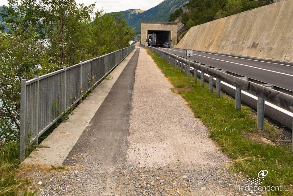
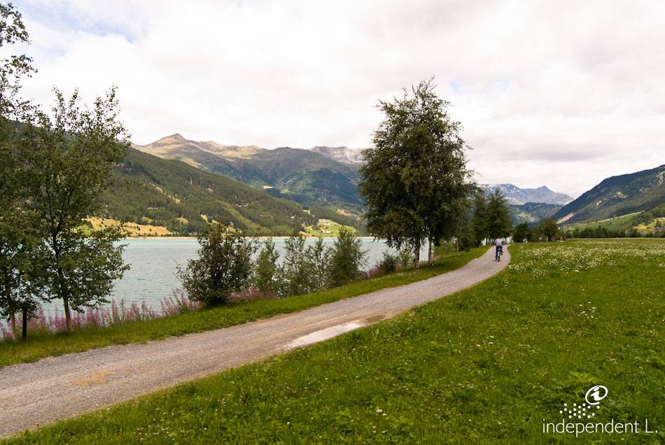
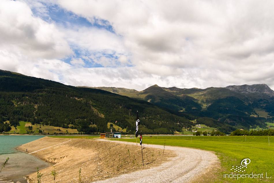
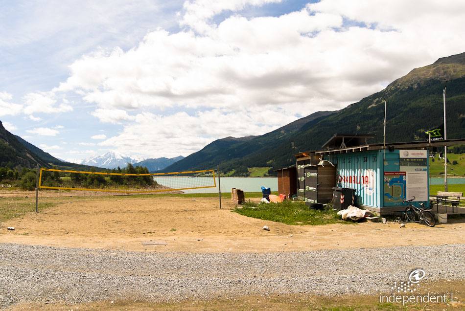
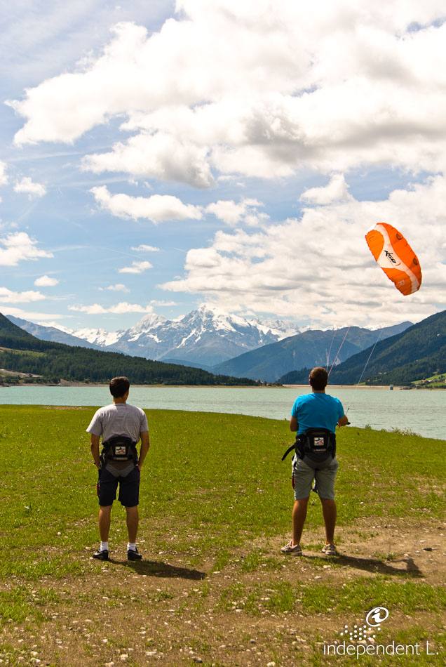
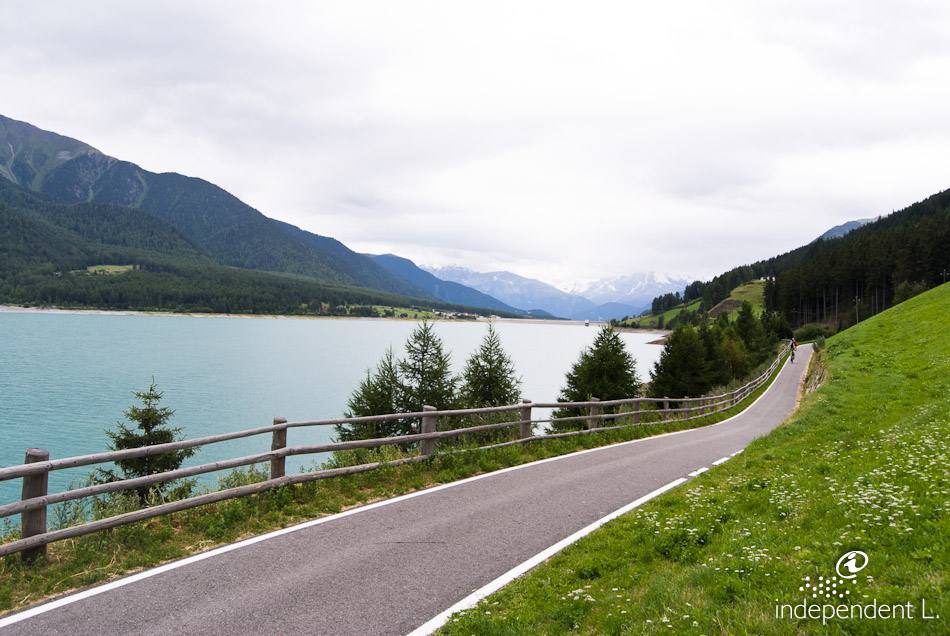
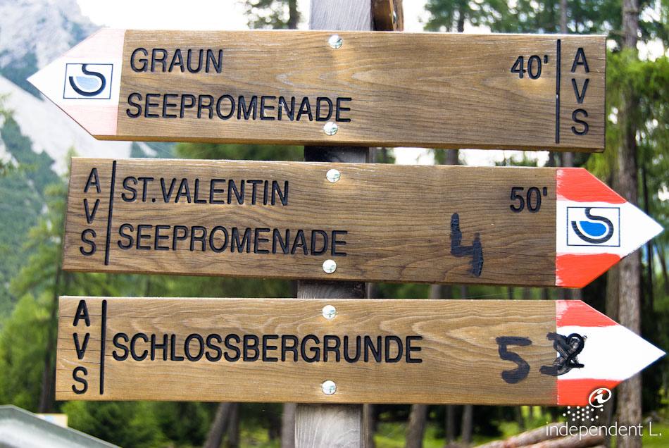
From the car park (1,502 m), the path leads us over firm earth and gravel towards Graun (1,520 m, a short stretch along the main road). The path then runs mostly straight and flat across extensive meadows until we finally reach the Adrenalina Kitesurfing Club, a meeting place for enthusiasts of this sport. After a short climb, we reach an open hilltop with benches and tables, offering a particularly beautiful view of the church tower. A steep gravel path leads down from here to a walkway in the middle of the water, which takes visitors around the church tower. The cycle path, however, continues straight on at a level surface to the large visitor car park, where there is a kiosk and an information point about the history of Lake Reschen.
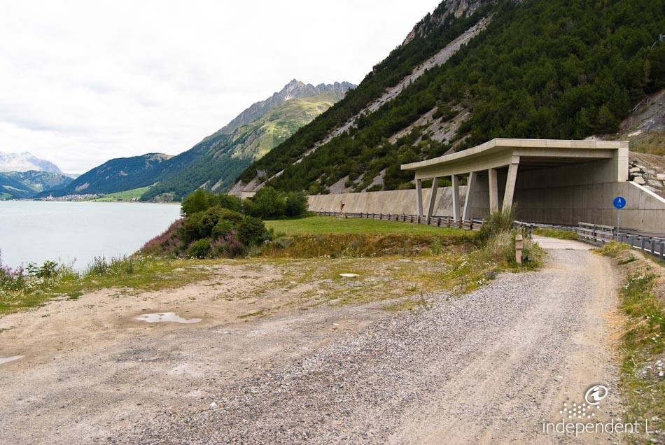
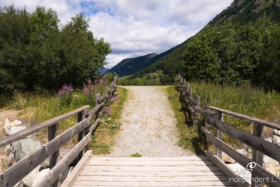
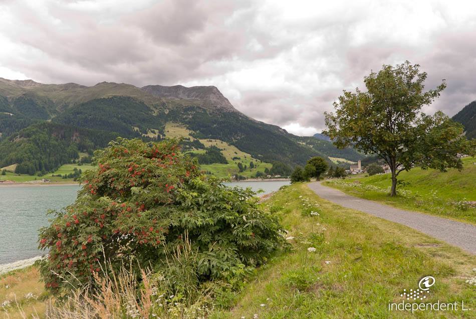
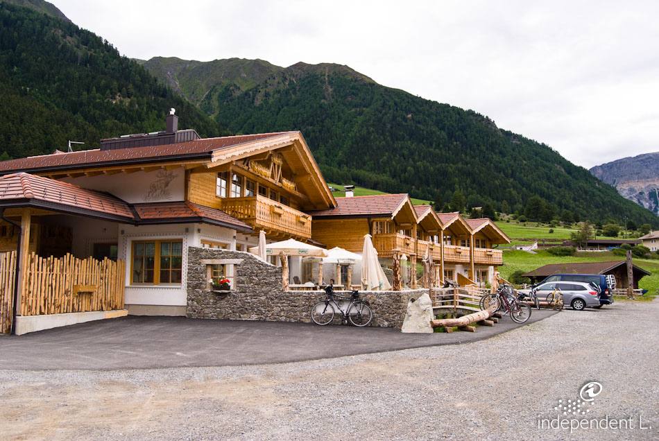
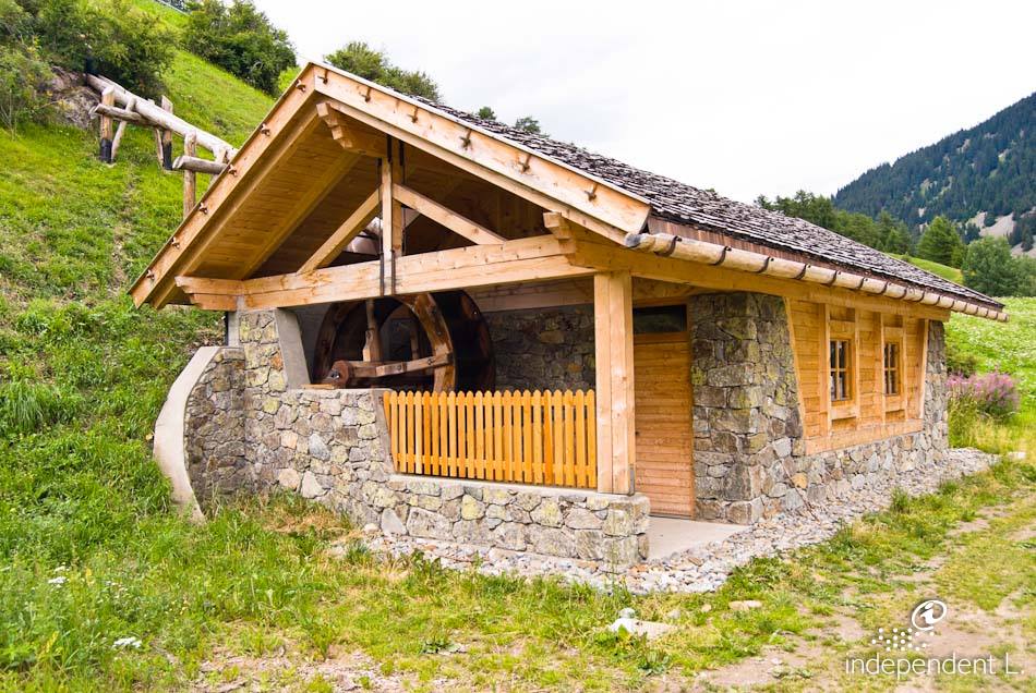
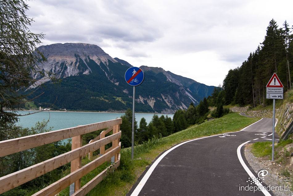
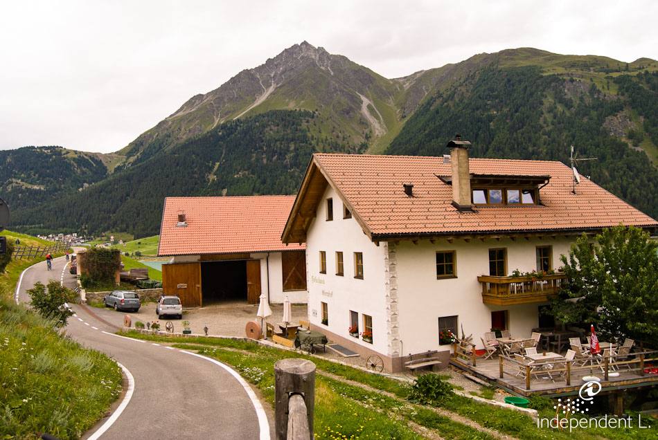
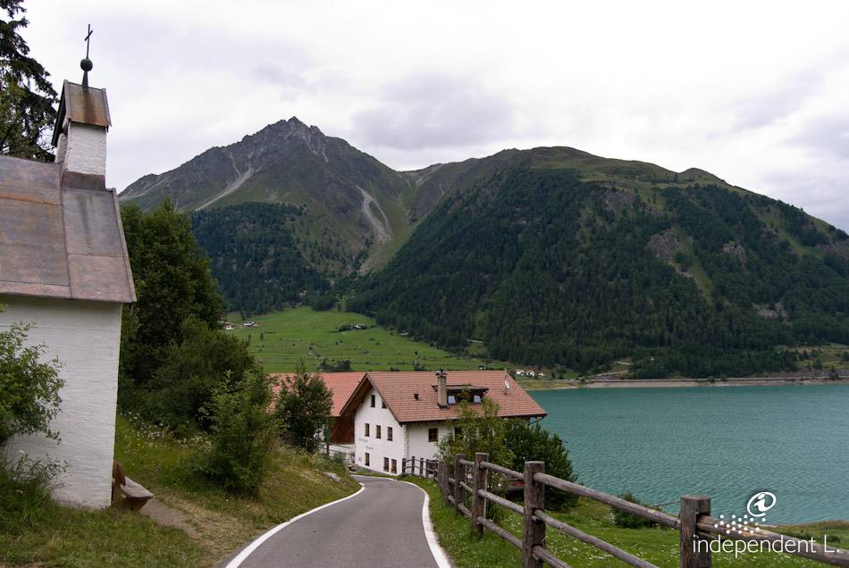
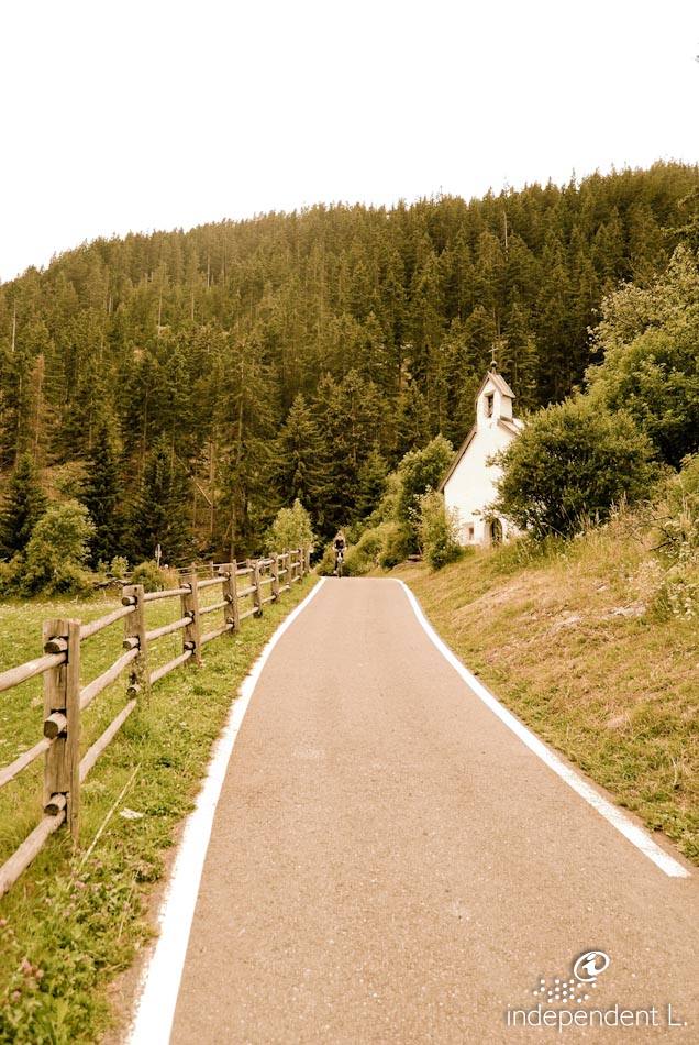
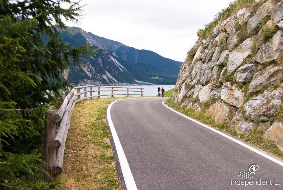
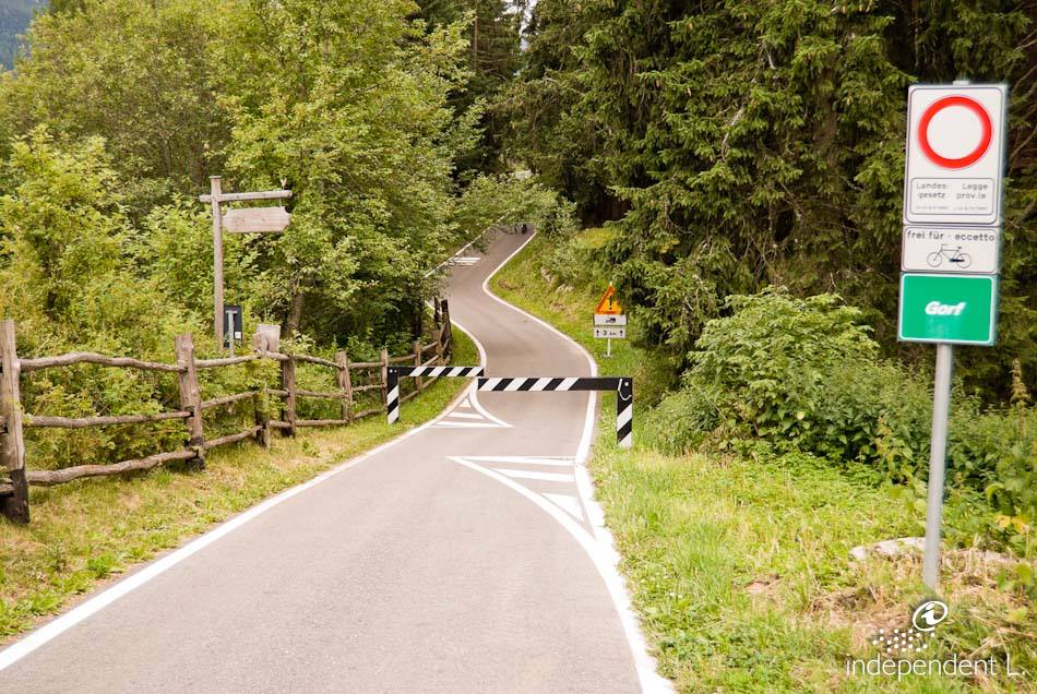
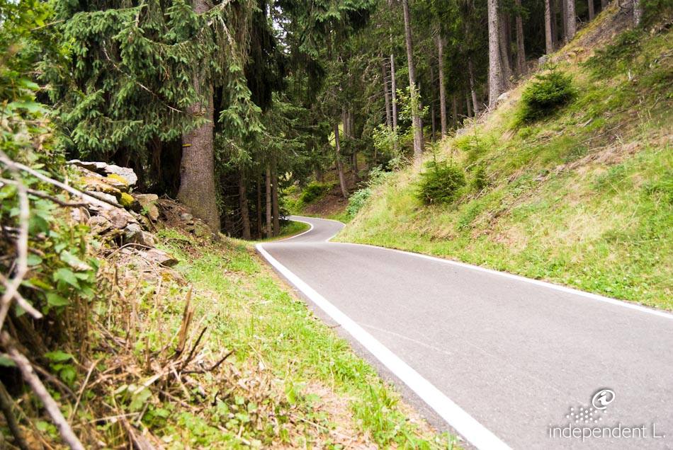
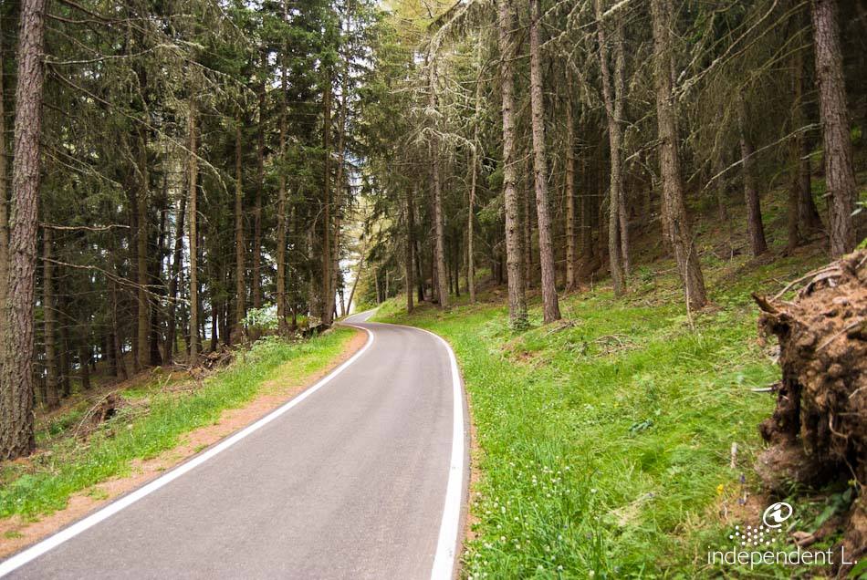
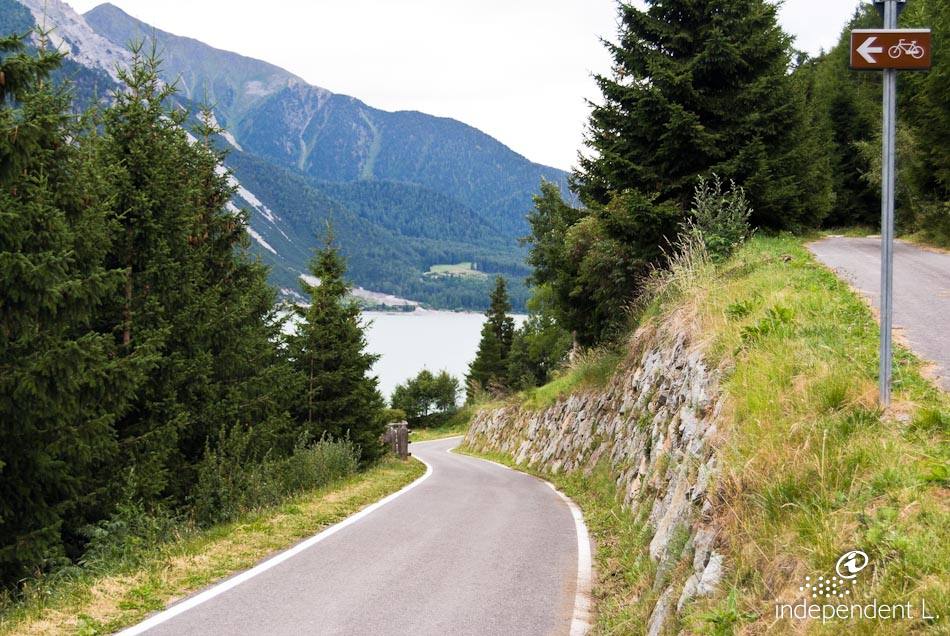
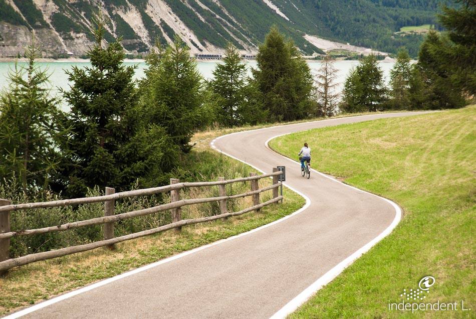
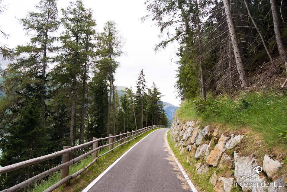
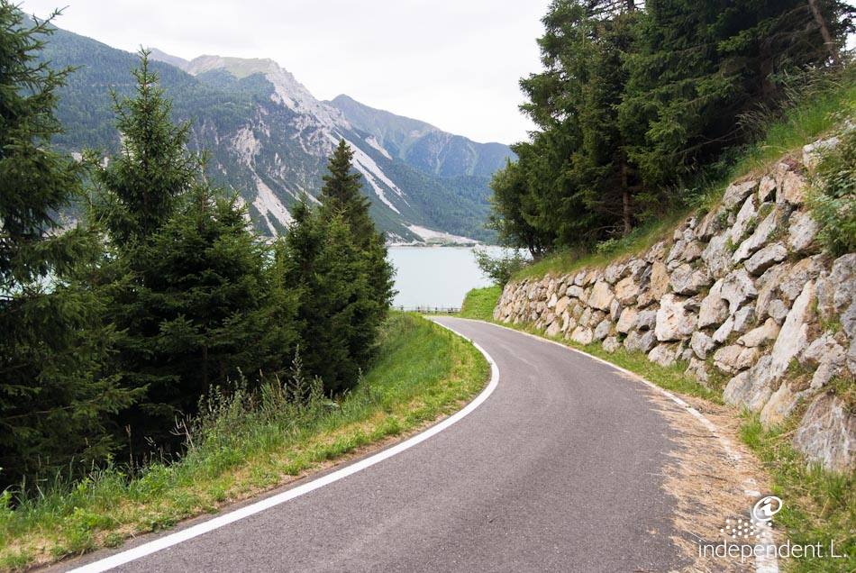
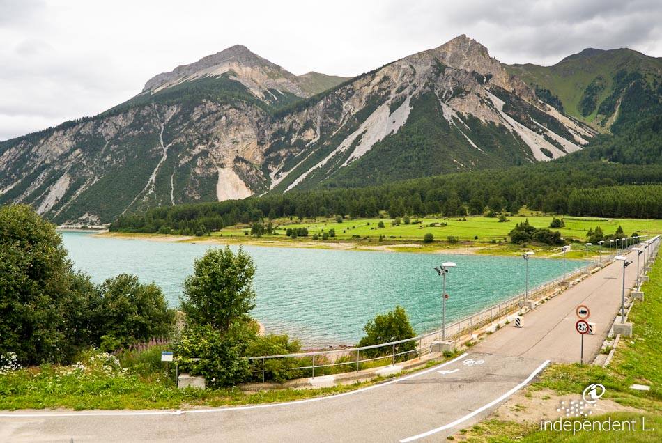
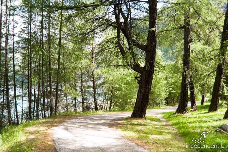
From the car park, we follow the tarmac path further into the valley (a short stretch along the main road) and eventually reach the first houses of Reschen (1,500 m). Passing the Mein Dörfl restaurant, we cross a large meadow and rejoin the signposted cycle path. Here our walk turns and we continue out of the valley towards St. Valentin. After passing a mill, we follow the cycle path along the lakeshore until we reach the Schöneben mountain railway. We cross the road and follow the cycle path up a gradient (8–10%) and through a series of bends to a small chapel near the Giernhof inn (1,530 m). The cycle path now winds steadily through the forest, with a series of gentle ups and downs. Following the lakeshore, we finally reach the dam after a few hairpin bends, over which we return to our starting point.
mountain bikers
gravel
compacted earth
Giernhof
Reschen
Mein Dörfl restaurant
Schöneben cable car valley station